

Wandern 60Wanderung in offener Wiesenlandschaft
Thema: Naturreservat am Schilfgebitt, Antoniuskult am "Schwéngsgronn"
Start Zittig Café Kohl
ca. 4,9 km
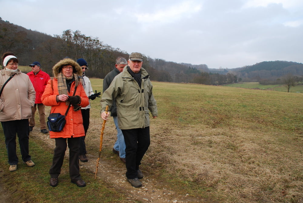
Start beim Café Kohl in Zittig-Gare, über die Fahrradpiste, am Café Regenwetter (Hemstal-Gare) vorbei, biegen wir links durch die Flur “an de Bouren”, in Richtung Hemstal ab. Die ersten Häuser von Hemstal in Richtung Rippig hinter uns lassend, betreten wir nun links den Weg am neuen Naturreservat in Richtung “Hicht” und nähern uns anschliessend der Zittiger-Mühle. An der neuen Kläranlage vorbei, wandern wir nun der Ortschaft Zittig entgegen.Nach einem kleinen Anstieg kehren wir zu unserm Ausgangspunkt zurück.
Further information at
http://www.eurinfo.net/infoblocks/show?id=1541Галерея маршрутов


Карта маршрута и высотный профиль
Minimum height 262 m
Maximum height 321 m
More about the tour author
|
|
ralbert |
Комментарии

GPS-Tracks
Trackpoints-
GPX / Garmin Map Source (gpx) download
-
TCX / Garmin Training Center® (tcx) download
-
CRS / Garmin Training Center® (crs) download
-
Google Earth (kml) download
-
G7ToWin (g7t) download
-
TTQV (trk) download
-
Overlay (ovl) download
-
Fugawi (txt) download
-
Kompass (DAV) Track (tk) download
-
Формуляр маршрута (pdf) download
-
Original file of the author (gpx) download
More about the tour author
|
|
ralbert |
Add to my favorites
Remove from my favorites
Edit tags
Open track
My score
Rate