Login

Забыл пароль?

Cookies have to be accepted!
Your browser's cookie functionality is disabled. Please enable this functionality.

Not a member yet?

Register now
Login

Available for registred users only

Log in to use this feature.

Забыл пароль?

Cookies have to be accepted!
Your browser's cookie functionality is disabled. Please enable this functionality.

Not a member yet?

Register now
Filter
Категории
Advanced filters
  • Длина (км)
  • Высотомер
Сохранить фильтр Reset filter

TrackRank

QRCode

Technical data

Длина11,3 km Высотомер263 m Way down252 m Длительность01:00 h:m Дата13.03.2010
Оценки Author Ландшафт Веселье Кондиция Техника

Статистика

1425 Виды Оценки 115 Загрузки Среднее
Rate
  • Формуляр маршрута
  • Дорога
  • Загрузки

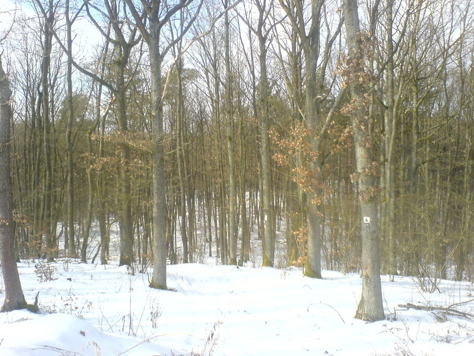
Die Tour führt über einen kleinen Anstieg zum Kreuzberg auf Waldwege und Singletrails im Wald.

Ab und zu kommen Aussichtspunklte über das Maintal zum Vorschein.

Technisch und konditionell nicht anspruchsvoll.

Галерея маршрутов

Карта маршрута и высотный профиль

  • Open Street Map
  • Google
Minimum height 326 m Maximum height 465 m Детальный вид

More about the tour author

slimboyt
Member since 2009

Send private message

Комментарии

Ab Bamberg:  Bamberg Bahnhof - Richtung Hallstadt

GPS-Tracks

Trackpoints
  • GPX / Garmin Map Source (gpx) download
  • TCX / Garmin Training Center® (tcx) download
  • CRS / Garmin Training Center® (crs) download
  • Google Earth (kml) download
  • G7ToWin (g7t) download
  • TTQV (trk) download
  • Overlay (ovl) download
  • Fugawi (txt) download
  • Kompass (DAV) Track (tk) download
  • Формуляр маршрута (pdf) download
  • Original file of the author (gpx) download

More about the tour author

slimboyt
Member since 2009

Send private message
Share track
Add to my favorites
Remove from my favorites
Edit tags
My score
Rate
Маршрут: Kreuzberg Dörfleins bei Bamberg
Вид: Горный велосипед
Длина: 11,3 km
Evaluated on:
Длительность:
Day(s)
Hour(s)
Minute(s)
Оценка: Ландшафт Веселье Кондиция Техника