Login

Забыл пароль?

Cookies have to be accepted!
Your browser's cookie functionality is disabled. Please enable this functionality.

Not a member yet?

Register now
Login

Available for registred users only

Log in to use this feature.

Забыл пароль?

Cookies have to be accepted!
Your browser's cookie functionality is disabled. Please enable this functionality.

Not a member yet?

Register now
Filter
Категории
Advanced filters
  • Длина (км)
  • Высотомер
Сохранить фильтр Reset filter

TrackRank

QRCode

Technical data

Длина37,1 km Высотомер293 m Way down297 m Длительность00:00 h:m Дата18.03.2010
Оценки Author Ландшафт Веселье Кондиция Техника

Статистика

551 Виды Оценки 43 Загрузки Среднее
Rate
  • Формуляр маршрута
  • Дорога
  • Загрузки

Rundtour am Inn.

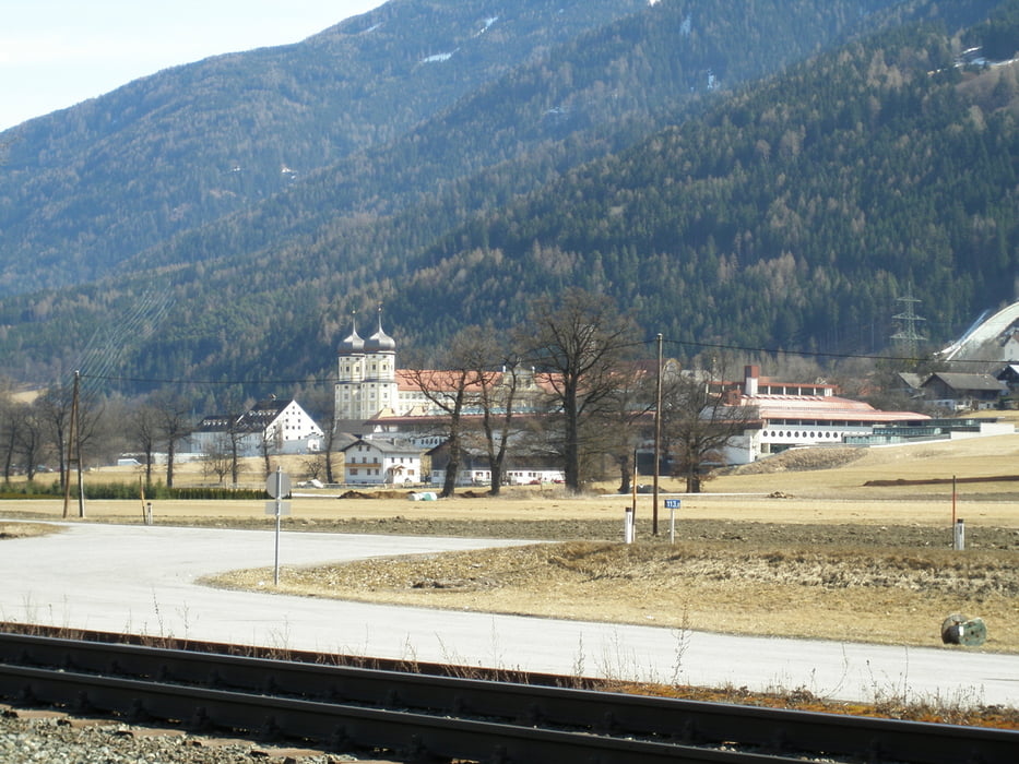
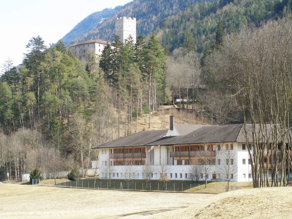
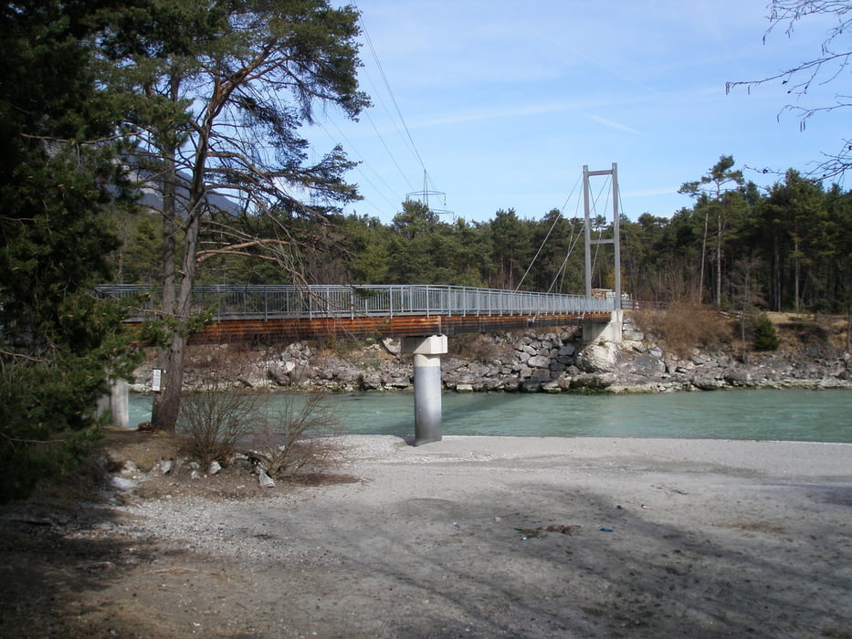
Start und Endpunkt ist die Kneippanlage (Römerbad) in Roppen am Inn. Auf dem Inntalradweg bis nach Stams. Auf der Südseite des Inntales geht es an Mötz (Staudach), Silz vorbei bis nach Haiming. Über Ötztal Bahnhof zurück nach Roppen.

Nur sehr kurze Teile der Strecke auf Feldwegen.

Галерея маршрутов

Карта маршрута и высотный профиль

  • Open Street Map
  • Google
Minimum height 634 m Maximum height 728 m Детальный вид

More about the tour author

simplon73
Member since 2009

Send private message

Комментарии

GPS-Tracks

Trackpoints
  • GPX / Garmin Map Source (gpx) download
  • TCX / Garmin Training Center® (tcx) download
  • CRS / Garmin Training Center® (crs) download
  • Google Earth (kml) download
  • G7ToWin (g7t) download
  • TTQV (trk) download
  • Overlay (ovl) download
  • Fugawi (txt) download
  • Kompass (DAV) Track (tk) download
  • Формуляр маршрута (pdf) download
  • Original file of the author (gpx) download

More about the tour author

simplon73
Member since 2009

Send private message
Share track
Add to my favorites
Remove from my favorites
Edit tags
My score
Rate
Маршрут: Roppen-Stams-Roppen
Вид: Горный велосипед
Длина: 37,1 km
Evaluated on:
Длительность:
Day(s)
Hour(s)
Minute(s)
Оценка: Ландшафт Веселье Кондиция Техника