Login

Забыл пароль?

Cookies have to be accepted!
Your browser's cookie functionality is disabled. Please enable this functionality.

Not a member yet?

Register now
Login

Available for registred users only

Log in to use this feature.

Забыл пароль?

Cookies have to be accepted!
Your browser's cookie functionality is disabled. Please enable this functionality.

Not a member yet?

Register now
Filter
Категории
Advanced filters
  • Длина (км)
  • Высотомер
Сохранить фильтр Reset filter

TrackRank

QRCode

Technical data

Длина10,5 km Высотомер900 m Way down843 m Длительность03:00 h:m Дата21.03.2010
Оценки Author Ландшафт Веселье Кондиция Техника

Статистика

2276 Виды Оценки 227 Загрузки Среднее
Rate
  • Формуляр маршрута
  • Дорога
  • Загрузки

 Parken kann man kurz hinter der Passhöhe Hochtannbergpass am Gasthof Adler. Hier startet dann auch gleich die Tour. 

Галерея маршрутов

Карта маршрута и высотный профиль

  • Open Street Map
  • Google
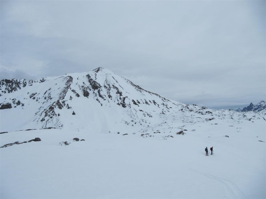
Minimum height 1627 m Maximum height 2367 m Детальный вид

More about the tour author

Allora423
Member since 2008

Send private message

Комментарии

 Von Dornbirn über Schoppernau und den Hochtannbergpass bis kurz hinter der Passhöhe.

GPS-Tracks

Trackpoints
  • GPX / Garmin Map Source (gpx) download
  • TCX / Garmin Training Center® (tcx) download
  • CRS / Garmin Training Center® (crs) download
  • Google Earth (kml) download
  • G7ToWin (g7t) download
  • TTQV (trk) download
  • Overlay (ovl) download
  • Fugawi (txt) download
  • Kompass (DAV) Track (tk) download
  • Формуляр маршрута (pdf) download
  • Original file of the author (gpx) download

More about the tour author

Allora423
Member since 2008

Send private message
Share track
Add to my favorites
Remove from my favorites
Edit tags
My score
Rate
Маршрут: Geißhorn
Вид: Лыжи
Длина: 10,5 km
Evaluated on:
Длительность:
Day(s)
Hour(s)
Minute(s)
Оценка: Ландшафт Веселье Кондиция Техника