


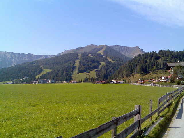
Von Achenkirchen -Christlum Talstation gehts easy hoch bis zum Abzweig zur ????Alm.
ab da wirds heftig steil schottrig grobschottrig tiefer Schotter , also mehr schieben als fahren.
und die letzten paar Höhenmeter gehts zufuß auf den Gipfel.
super Sicht ins Achental ....
ab da wirds heftig steil schottrig grobschottrig tiefer Schotter , also mehr schieben als fahren.
und die letzten paar Höhenmeter gehts zufuß auf den Gipfel.
super Sicht ins Achental ....
Галерея маршрутов
Карта маршрута и высотный профиль
Minimum height 933 m
Maximum height 1738 m
More about the tour author
|
|
tomi |
Комментарии

GPS-Tracks
Trackpoints-
GPX / Garmin Map Source (gpx) download
-
TCX / Garmin Training Center® (tcx) download
-
CRS / Garmin Training Center® (crs) download
-
Google Earth (kml) download
-
G7ToWin (g7t) download
-
TTQV (trk) download
-
Overlay (ovl) download
-
Fugawi (txt) download
-
Kompass (DAV) Track (tk) download
-
Формуляр маршрута (pdf) download
-
Original file of the author (gpx) download
More about the tour author
|
|
tomi |
Add to my favorites
Remove from my favorites
Edit tags
Open track
My score
Rate