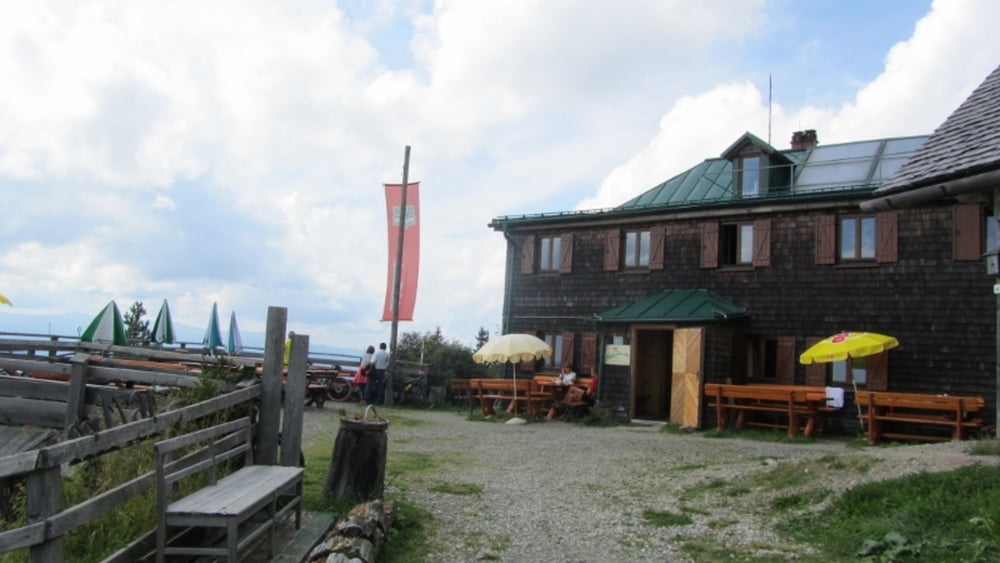
Gemütliche Auffahrt, erst Asphalt wird dann steiler und führt auf Almen und in Serpentinen durch Wald... mit der Zeit konditionsraubend sehr nette Almhütte:
http://www.bergfex.at/sommer/urlaubsregion-murtal/touren/wanderung/3469,steinplan/
Further information at
http://www.bergfex.at/sommer/urlaubsregion-murtal/touren/wanderung/3469,steinplan/Галерея маршрутов
Карта маршрута и высотный профиль
Minimum height 564 m
Maximum height 2377 m
Комментарии

Knittelfeld - Kleinlobming, Parken bei Abzweigung "Gaberl"
GPS-Tracks
Trackpoints-
GPX / Garmin Map Source (gpx) download
-
TCX / Garmin Training Center® (tcx) download
-
CRS / Garmin Training Center® (crs) download
-
Google Earth (kml) download
-
G7ToWin (g7t) download
-
TTQV (trk) download
-
Overlay (ovl) download
-
Fugawi (txt) download
-
Kompass (DAV) Track (tk) download
-
Формуляр маршрута (pdf) download
-
Original file of the author (gpx) download
Add to my favorites
Remove from my favorites
Edit tags
Open track
My score
Rate


