


Die Tour geht vom Salenhof (Bauernhof) über den Salenhof (Gasthof), den Täleweg, die Hochebene und dem Gasthof Ahorn zum Wilmershof.
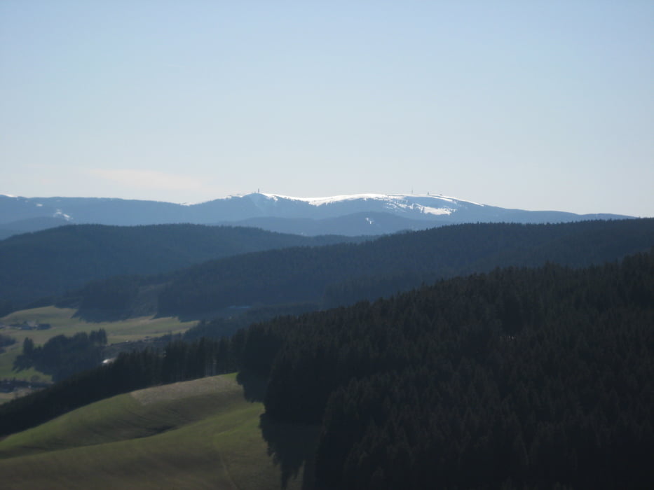
Bereits beim Aufstieg zum Täleweg hat man bei klarer Sicht eine fantastische Aussicht auf die Alpen. Auf dem Täleweg hat man eine grandiose Aussicht über den Tittisee bis hinauf zum Feldberg.
Die Tour führt auf schönen Wanderpfaden ans Ziel.
Am Ziel kann man ein super leckeres selbstgemachtes Eis vom Bauernhof genießen.
Галерея маршрутов

Карта маршрута и высотный профиль
Minimum height 890 m
Maximum height 1080 m
More about the tour author

|
Victor_Hugenay |
Комментарии

GPS-Tracks
Trackpoints-
GPX / Garmin Map Source (gpx) download
-
TCX / Garmin Training Center® (tcx) download
-
CRS / Garmin Training Center® (crs) download
-
Google Earth (kml) download
-
G7ToWin (g7t) download
-
TTQV (trk) download
-
Overlay (ovl) download
-
Fugawi (txt) download
-
Kompass (DAV) Track (tk) download
-
Формуляр маршрута (pdf) download
-
Original file of the author (gpx) download
More about the tour author
|
|
Victor_Hugenay |
Add to my favorites
Remove from my favorites
Edit tags
Open track
My score
Rate