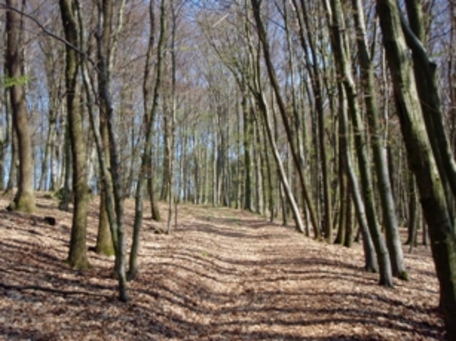
Der erste Anstieg führt beim Schießplatz vorbei - eigentlich militärisches Sperrgebiet - aber ein super Wegerl durch Laubwald, zum Pfenningberg wird's nochmals steil zum Schluß ein schmales Waldwegerl.
Abfahrt nach Windegg auf super Waldwegerl mit Trailvariante zum Schluß - nicht nach links hinunter schauen ;-)
Галерея маршрутов
Карта маршрута и высотный профиль
Minimum height 251 m
Maximum height 611 m
Комментарии
GPS-Tracks
Trackpoints-
GPX / Garmin Map Source (gpx) download
-
TCX / Garmin Training Center® (tcx) download
-
CRS / Garmin Training Center® (crs) download
-
Google Earth (kml) download
-
G7ToWin (g7t) download
-
TTQV (trk) download
-
Overlay (ovl) download
-
Fugawi (txt) download
-
Kompass (DAV) Track (tk) download
-
Формуляр маршрута (pdf) download
-
Original file of the author (gpx) download
Add to my favorites
Remove from my favorites
Edit tags
Open track
My score
Rate


Fahrverbote
Die offiziellen Touren und Trails findet ihr auf www.mtblinz.at