Login

Забыл пароль?

Cookies have to be accepted!
Your browser's cookie functionality is disabled. Please enable this functionality.

Not a member yet?

Register now
Login

Available for registred users only

Log in to use this feature.

Забыл пароль?

Cookies have to be accepted!
Your browser's cookie functionality is disabled. Please enable this functionality.

Not a member yet?

Register now
Filter
Категории
Advanced filters
  • Длина (км)
  • Высотомер
Сохранить фильтр Reset filter

TrackRank

QRCode

Technical data

Длина85,3 km Высотомер683 m Way down700 m Длительность00:00 h:m Дата18.04.2010
Оценки Author Ландшафт Веселье Кондиция Техника

Статистика

504 Виды Оценки 34 Загрузки Среднее
Rate
  • Формуляр маршрута
  • Дорога
  • Загрузки

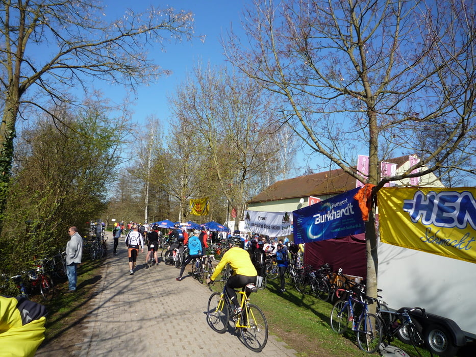
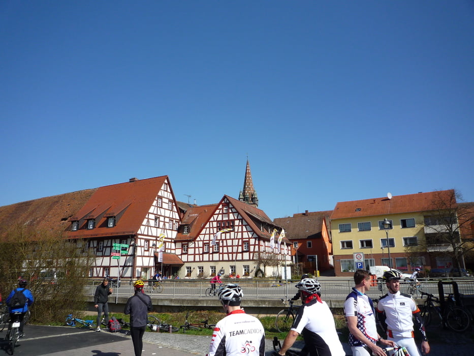
Schöne Runde auf teils ruhigen Straßen!

Start Ammerndorf -  Dietenhofen - Münchzell - Wassermungenau - Ammerndorf

Further information at

http://www.tsvammerndorf.de

Галерея маршрутов

Карта маршрута и высотный профиль

  • Open Street Map
  • Google
Minimum height 313 m Maximum height 441 m Детальный вид

More about the tour author

FLU
Member since 2009

Send private message

Комментарии

GPS-Tracks

Trackpoints
  • GPX / Garmin Map Source (gpx) download
  • TCX / Garmin Training Center® (tcx) download
  • CRS / Garmin Training Center® (crs) download
  • Google Earth (kml) download
  • G7ToWin (g7t) download
  • TTQV (trk) download
  • Overlay (ovl) download
  • Fugawi (txt) download
  • Kompass (DAV) Track (tk) download
  • Формуляр маршрута (pdf) download
  • Original file of the author (gpx) download

More about the tour author

FLU
Member since 2009

Send private message
Share track
Add to my favorites
Remove from my favorites
Edit tags
My score
Rate
Маршрут: RTF-Ammerndorf 2010_85 KM
Вид: Гоночный велосипед
Длина: 85,3 km
Evaluated on:
Длительность:
Day(s)
Hour(s)
Minute(s)
Оценка: Ландшафт Веселье Кондиция Техника