Login

Забыл пароль?

Cookies have to be accepted!
Your browser's cookie functionality is disabled. Please enable this functionality.

Not a member yet?

Register now
Login

Available for registred users only

Log in to use this feature.

Забыл пароль?

Cookies have to be accepted!
Your browser's cookie functionality is disabled. Please enable this functionality.

Not a member yet?

Register now
Filter
Категории
Advanced filters
  • Длина (км)
  • Высотомер
Сохранить фильтр Reset filter

TrackRank

QRCode

Technical data

Длина27,5 km Высотомер887 m Way down632 m Длительность02:30 h:m Дата24.04.2010
Оценки Author Ландшафт Веселье Кондиция Техника

Статистика

414 Виды Оценки 54 Загрузки Среднее
Rate
  • Формуляр маршрута
  • Дорога
  • Загрузки

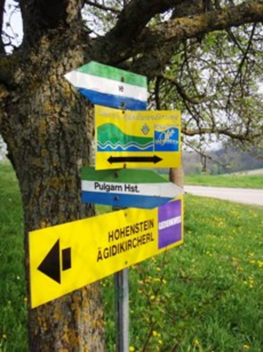
Pfenningberg beim Gasthaus Taxleitner links vorbei hinunter zum Reichenbach - Hohenstein - super Downhill nach Pulgarn dann entweder locker an der Donau retour nach Linz ODER nochmals rauf auf den Pfenninberg und dann retour 

Галерея маршрутов

Карта маршрута и высотный профиль

  • Open Street Map
  • Google
Minimum height 259 m Maximum height 583 m Детальный вид

More about the tour author

NitramH
Member since 2009

Send private message

Комментарии

GPS-Tracks

Trackpoints
  • GPX / Garmin Map Source (gpx) download
  • TCX / Garmin Training Center® (tcx) download
  • CRS / Garmin Training Center® (crs) download
  • Google Earth (kml) download
  • G7ToWin (g7t) download
  • TTQV (trk) download
  • Overlay (ovl) download
  • Fugawi (txt) download
  • Kompass (DAV) Track (tk) download
  • Формуляр маршрута (pdf) download
  • Original file of the author (gpx) download

More about the tour author

NitramH
Member since 2009

Send private message
Share track
Add to my favorites
Remove from my favorites
Edit tags
My score
Rate
Маршрут: Pfenninberg 4
Вид: Горный велосипед
Длина: 27,5 km
Evaluated on:
Длительность:
Day(s)
Hour(s)
Minute(s)
Оценка: Ландшафт Веселье Кондиция Техника