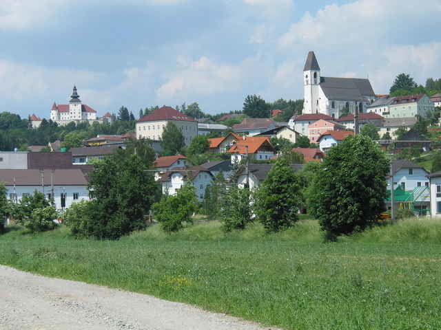
Auch der zweite Versuch, den Nebelstein von Linz aus zu erreichen, war nicht von Erfolg gekrönt. Bei der Ankunft um 7.45h in Kefermarkt, blitzte und donnerte es in der geplanten Fahrtrichtung, sodass ich improvisierte und die Tour Richtung Westen abänderte und auch so noch zu einigen Kilo- und Höhenmetern kam. Hoher Asphaltanteil.
Галерея маршрутов
Карта маршрута и высотный профиль
Minimum height 258 m
Maximum height 817 m
Комментарии

GPS-Tracks
Trackpoints-
GPX / Garmin Map Source (gpx) download
-
TCX / Garmin Training Center® (tcx) download
-
CRS / Garmin Training Center® (crs) download
-
Google Earth (kml) download
-
G7ToWin (g7t) download
-
TTQV (trk) download
-
Overlay (ovl) download
-
Fugawi (txt) download
-
Kompass (DAV) Track (tk) download
-
Формуляр маршрута (pdf) download
-
Original file of the author (g7t) download
Add to my favorites
Remove from my favorites
Edit tags
Open track
My score
Rate


