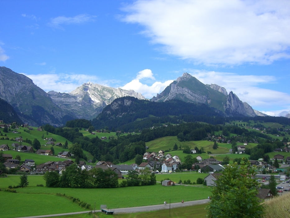
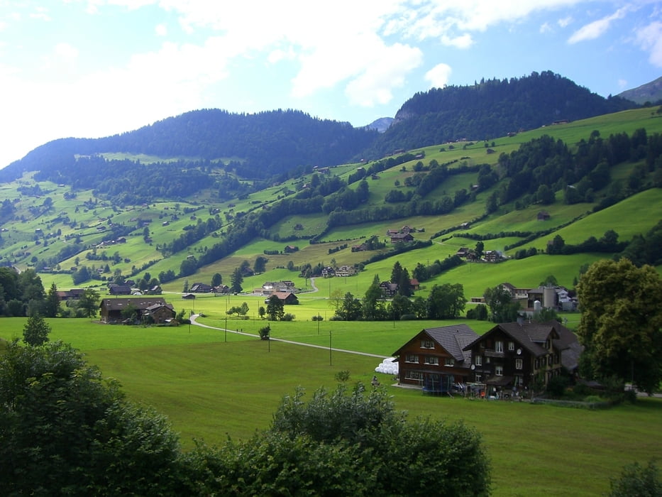
Ab Unterwasser geht es den Verlauf des teils wunderschönen Thurwanderweg entlang bis Sirnach. Es erwarten uns fantastische Ausblicke auf Brücken, Täler, Wasserfälle, Naturschauspiele, Rast und Picknickplätze sowie verwunschene Flussabschnitte,
Галерея маршрутов
Карта маршрута и высотный профиль
Minimum height 99999 m
Maximum height -99999 m
Комментарии

Ab Wil mit der Bahn bis Nesslau, mit dem Bus weiter bis Unterwasser.
GPS-Tracks
Trackpoints-
GPX / Garmin Map Source (gpx) download
-
TCX / Garmin Training Center® (tcx) download
-
CRS / Garmin Training Center® (crs) download
-
Google Earth (kml) download
-
G7ToWin (g7t) download
-
TTQV (trk) download
-
Overlay (ovl) download
-
Fugawi (txt) download
-
Kompass (DAV) Track (tk) download
-
Формуляр маршрута (pdf) download
-
Original file of the author (gpx) download
Add to my favorites
Remove from my favorites
Edit tags
Open track
My score
Rate


