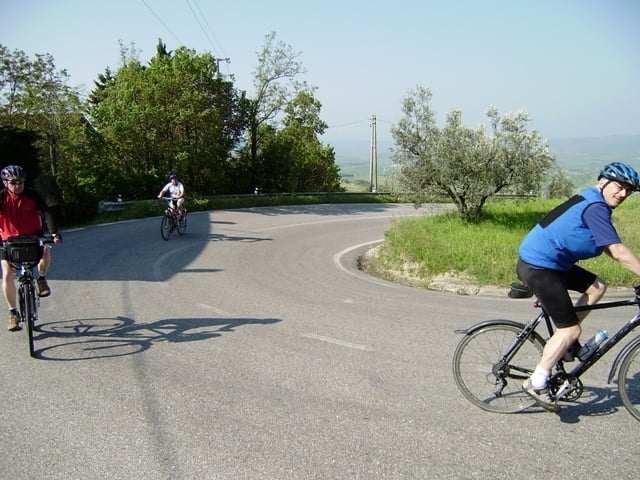
Mit dem Kfz fahren wir von unserer FW nach Saline di Volterra. Dort beginnen wir unsere Tour nach Volterra und San Gimignano. Von dort aus fahren wir "fast" nur noch abwärts zurück zum Parkplatz.
Der am 28.04.2010 gefahrene Track ist fehlerkorrigiert.
Ich empfehle die MARCO POLO Karte Toskana 1.200000 mitzuführen.
AVS 17,0 Km/h - max. Spd. 62,6 Km/h - Pausenzeit 2:45 h zusätzlich!
748-68-21072018
Further information at
http://www.schenie.deГалерея маршрутов
Карта маршрута и высотный профиль
Minimum height 64 m
Maximum height 540 m
Комментарии

Aus meinem Tagebuch:
Sehenswert:
Einkehrmöglichkeit:
Schlußworte:
Radtechnik: TREK8000
GPS: Garmin Etrex Vista HCX
748-68-21072018
GPS-Tracks
Trackpoints-
GPX / Garmin Map Source (gpx) download
-
TCX / Garmin Training Center® (tcx) download
-
CRS / Garmin Training Center® (crs) download
-
Google Earth (kml) download
-
G7ToWin (g7t) download
-
TTQV (trk) download
-
Overlay (ovl) download
-
Fugawi (txt) download
-
Kompass (DAV) Track (tk) download
-
Формуляр маршрута (pdf) download
-
Original file of the author (gpx) download
Add to my favorites
Remove from my favorites
Edit tags
Open track
My score
Rate


