Login

Забыл пароль?

Cookies have to be accepted!
Your browser's cookie functionality is disabled. Please enable this functionality.

Not a member yet?

Register now
Login

Available for registred users only

Log in to use this feature.

Забыл пароль?

Cookies have to be accepted!
Your browser's cookie functionality is disabled. Please enable this functionality.

Not a member yet?

Register now
Filter
Категории
Advanced filters
  • Длина (км)
  • Высотомер
Сохранить фильтр Reset filter

TrackRank

QRCode

Technical data

Длина8,3 km Высотомер201 m Way down213 m Длительность02:15 h:m Дата07.05.2010
Оценки Author User Ландшафт Веселье Кондиция Техника

Статистика

917 Виды 2 Оценки 129 Загрузки 4.00 Среднее
Rate
  • Формуляр маршрута
  • Дорога
  • Загрузки


Vom Parkplatz Uracher Wasserfall am Waldrand und teilweise am Bach entlang zum Uracher Wasserfall.

Anschließend serpentienenmäßig den Berg hinauf zur Wasserfallkante.

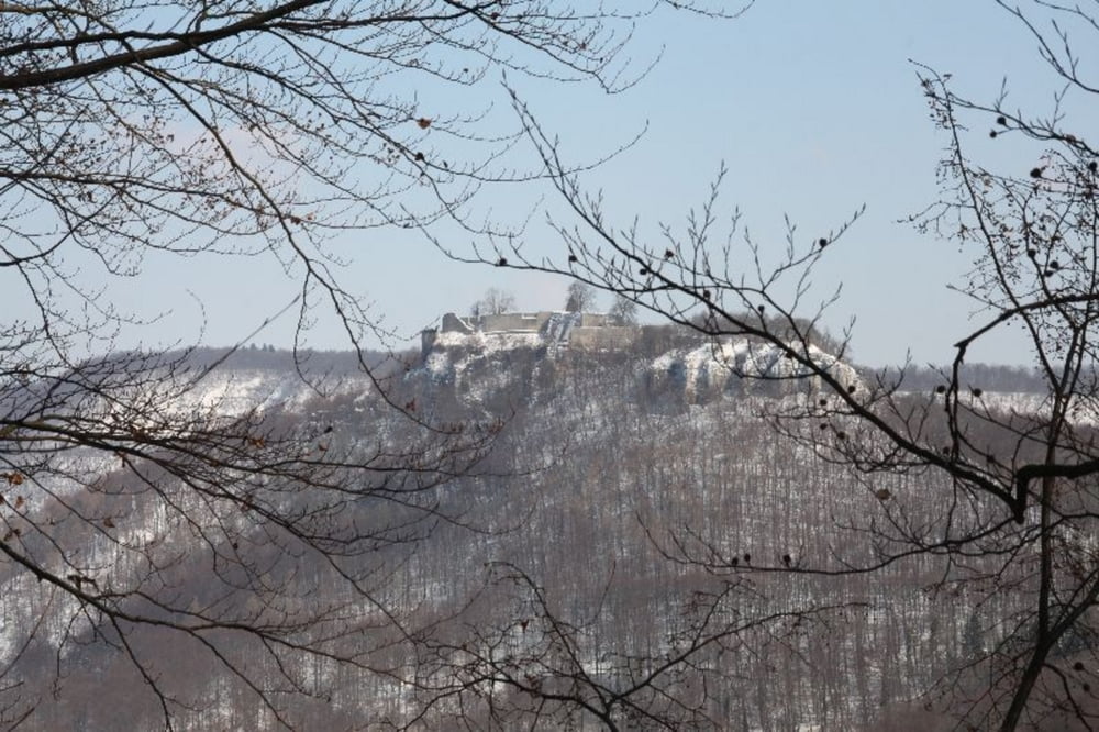
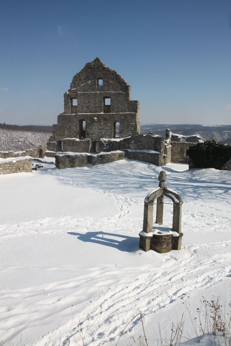
Weiter auf die Burgruine Hohen Urach.

Auf den kürzesten Weg zurück zum Parkplatz.

Галерея маршрутов

Карта маршрута и высотный профиль

  • Open Street Map
  • Google
Minimum height 445 m Maximum height 699 m Детальный вид

More about the tour author

Rainer1964
Member since 2009

Send private message

Комментарии

die B28 von Metzingen Richtung Bad Urach.

Am Ortseingang Bad Urach rechts Richtung Wasserfall abbiegen.

Nach ein paar hundert Meter befindet sich der Parkplatz.

GPS-Tracks

Trackpoints
  • GPX / Garmin Map Source (gpx) download
  • TCX / Garmin Training Center® (tcx) download
  • CRS / Garmin Training Center® (crs) download
  • Google Earth (kml) download
  • G7ToWin (g7t) download
  • TTQV (trk) download
  • Overlay (ovl) download
  • Fugawi (txt) download
  • Kompass (DAV) Track (tk) download
  • Формуляр маршрута (pdf) download
  • Original file of the author (gpx) download

More about the tour author

Rainer1964
Member since 2009

Send private message
Share track
Add to my favorites
Remove from my favorites
Edit tags
My score
Rate
Маршрут: Uracher Wasserfall und Hohen Urach
Вид: Пешеходный туризм
Длина: 8,3 km
Evaluated on:
Длительность:
Day(s)
Hour(s)
Minute(s)
Оценка: Ландшафт Веселье Кондиция Техника