Login

Забыл пароль?

Cookies have to be accepted!
Your browser's cookie functionality is disabled. Please enable this functionality.

Not a member yet?

Register now
Login

Available for registred users only

Log in to use this feature.

Забыл пароль?

Cookies have to be accepted!
Your browser's cookie functionality is disabled. Please enable this functionality.

Not a member yet?

Register now
Filter
Категории
Advanced filters
  • Длина (км)
  • Высотомер
Сохранить фильтр Reset filter

TrackRank

QRCode

Technical data

Длина48,6 km Высотомер188 m Way down191 m Длительность00:00 h:m Дата08.05.2010
Оценки Author Ландшафт Веселье Кондиция Техника

Статистика

427 Виды Оценки 55 Загрузки Среднее
Rate
  • Формуляр маршрута
  • Дорога
  • Загрузки

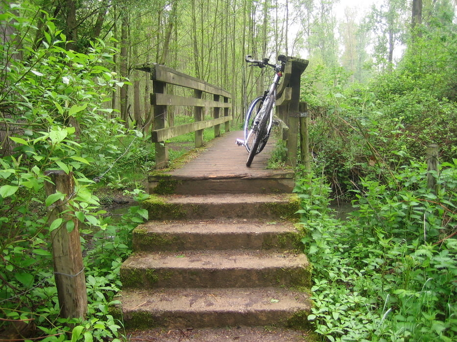
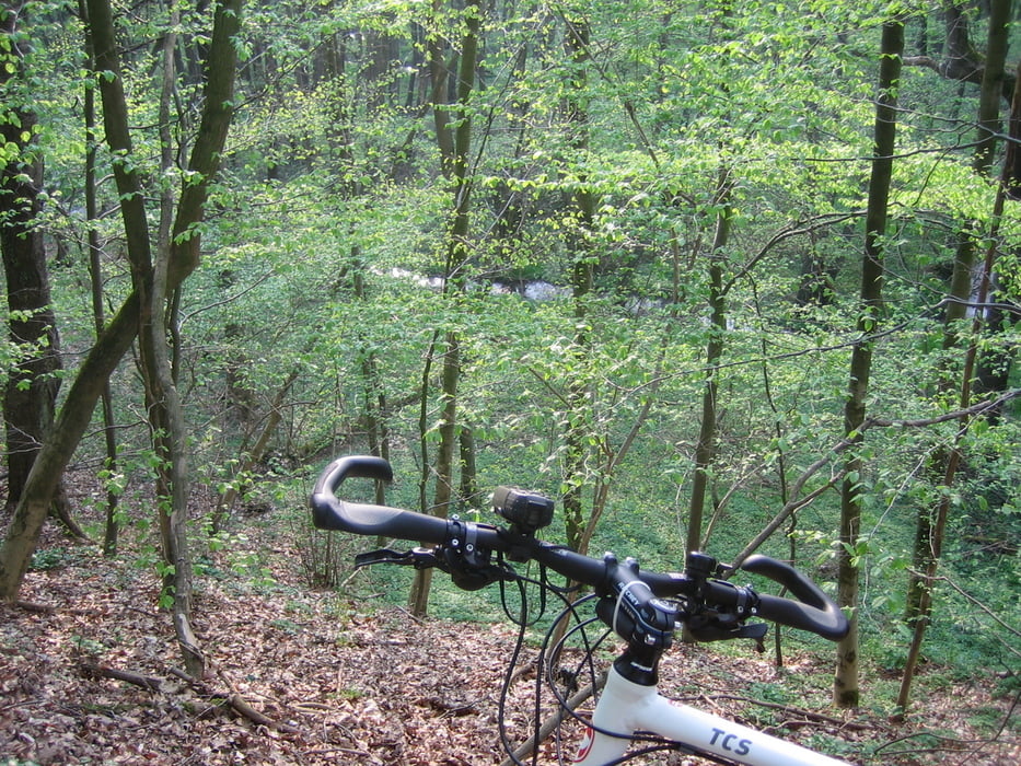
GPS aufgezeichnete Strecke. In weiten Teilen eher als gemütliche Treckingtour. Es sind zwei kürzere Streckenabschnitte enthalten, die eher etwas für Cross- oder Mountainbike geeignet sind. Wer will kann absteigen :-)

Галерея маршрутов

Карта маршрута и высотный профиль

  • Open Street Map
  • Google
Minimum height 50 m Maximum height 105 m Детальный вид

More about the tour author

nulf
Member since 2010

Send private message

Комментарии

GPS-Tracks

Trackpoints
  • GPX / Garmin Map Source (gpx) download
  • TCX / Garmin Training Center® (tcx) download
  • CRS / Garmin Training Center® (crs) download
  • Google Earth (kml) download
  • G7ToWin (g7t) download
  • TTQV (trk) download
  • Overlay (ovl) download
  • Fugawi (txt) download
  • Kompass (DAV) Track (tk) download
  • Формуляр маршрута (pdf) download
  • Original file of the author (gpx) download

More about the tour author

nulf
Member since 2010

Send private message
Share track
Add to my favorites
Remove from my favorites
Edit tags
My score
Rate
Маршрут: Erkelenz - Linnich
Вид: Велосипедные маршруты
Длина: 48,6 km
Evaluated on:
Длительность:
Day(s)
Hour(s)
Minute(s)
Оценка: Ландшафт Веселье Кондиция Техника