Login

Забыл пароль?

Cookies have to be accepted!
Your browser's cookie functionality is disabled. Please enable this functionality.

Not a member yet?

Register now
Login

Available for registred users only

Log in to use this feature.

Забыл пароль?

Cookies have to be accepted!
Your browser's cookie functionality is disabled. Please enable this functionality.

Not a member yet?

Register now
Filter
Категории
Advanced filters
  • Длина (км)
  • Высотомер
Сохранить фильтр Reset filter

TrackRank

QRCode

Technical data

Длина15,7 km Высотомер27 m Way down47 m Длительность00:03 h:m Дата14.05.2010
Оценки Author Ландшафт Веселье Кондиция Техника

Статистика

1363 Виды Оценки 56 Загрузки Среднее
Rate
  • Формуляр маршрута
  • Дорога
  • Загрузки

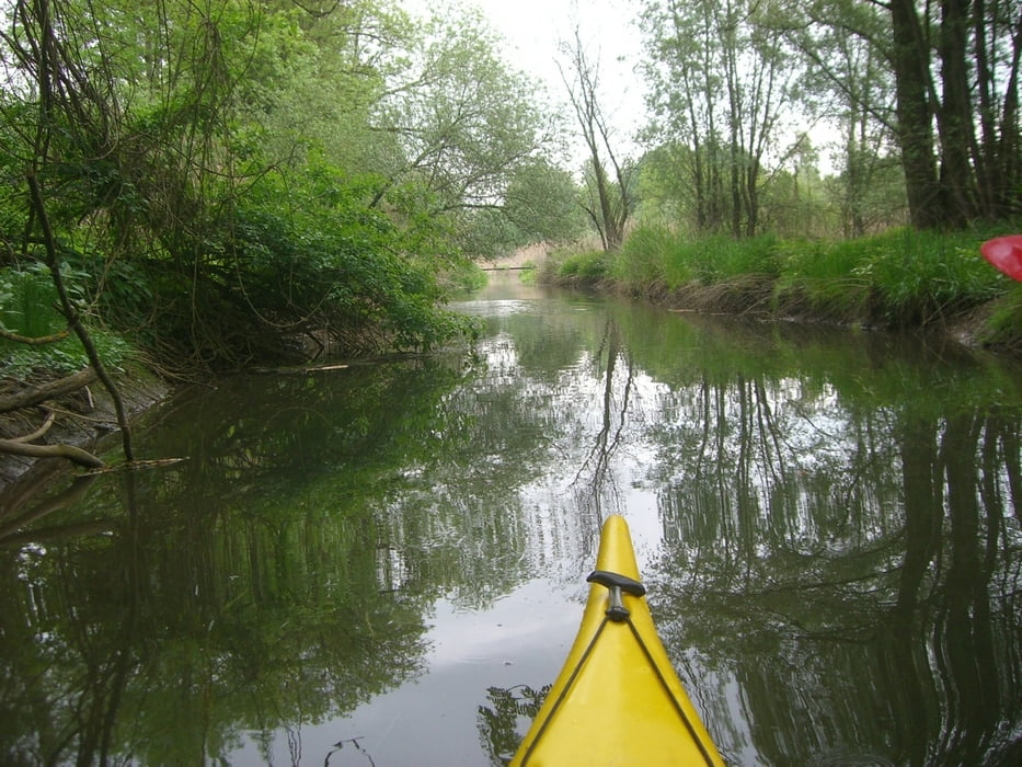
Coole Kajaktour am Kößlarner Bach. Nur bei gutem Wasserstand befahrbar.

Галерея маршрутов

Карта маршрута и высотный профиль

  • Open Street Map
  • Google
Minimum height 292 m Maximum height 352 m Детальный вид

More about the tour author

Tom007
Member since 2009

Send private message

Комментарии

Einstieg ist in Würding bei Bad Füssing - Ausstieg  in Neuhaus a Inn

GPS-Tracks

Trackpoints
  • GPX / Garmin Map Source (gpx) download
  • TCX / Garmin Training Center® (tcx) download
  • CRS / Garmin Training Center® (crs) download
  • Google Earth (kml) download
  • G7ToWin (g7t) download
  • TTQV (trk) download
  • Overlay (ovl) download
  • Fugawi (txt) download
  • Kompass (DAV) Track (tk) download
  • Формуляр маршрута (pdf) download
  • Original file of the author (gpx) download

More about the tour author

Tom007
Member since 2009

Send private message
Share track
Add to my favorites
Remove from my favorites
Edit tags
My score
Rate
Маршрут: Dschungeltour
Вид: Бот и каноэ
Длина: 15,7 km
Evaluated on:
Длительность:
Day(s)
Hour(s)
Minute(s)
Оценка: Ландшафт Веселье Кондиция Техника