Login

Забыл пароль?

Cookies have to be accepted!
Your browser's cookie functionality is disabled. Please enable this functionality.

Not a member yet?

Register now
Login

Available for registred users only

Log in to use this feature.

Забыл пароль?

Cookies have to be accepted!
Your browser's cookie functionality is disabled. Please enable this functionality.

Not a member yet?

Register now
Filter
Категории
Advanced filters
  • Длина (км)
  • Высотомер
Сохранить фильтр Reset filter

TrackRank

QRCode

Technical data

Длина35,9 km Высотомер893 m Way down904 m Длительность03:00 h:m Дата16.05.2010
Оценки Author Ландшафт Веселье Кондиция Техника

Статистика

472 Виды Оценки 48 Загрузки Среднее
Rate
  • Формуляр маршрута
  • Дорога
  • Загрузки

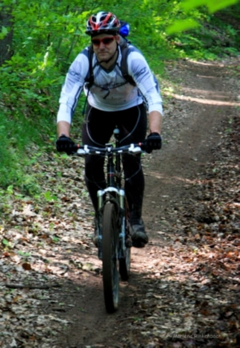
Très beau parcours avec de très beaux single.

Parcours à éviter lorsqu'il a plue car le terrain est glissant et la boue est collante.

Further information at

http://www.ccariane.fr.st/

Галерея маршрутов

Карта маршрута и высотный профиль

  • Open Street Map
  • Google
Minimum height 211 m Maximum height 403 m Детальный вид

More about the tour author

pascal.67
Member since 2008

Send private message

Комментарии

Parking du gymnase de Spicheren

GPS-Tracks

Trackpoints
  • GPX / Garmin Map Source (gpx) download
  • TCX / Garmin Training Center® (tcx) download
  • CRS / Garmin Training Center® (crs) download
  • Google Earth (kml) download
  • G7ToWin (g7t) download
  • TTQV (trk) download
  • Overlay (ovl) download
  • Fugawi (txt) download
  • Kompass (DAV) Track (tk) download
  • Формуляр маршрута (pdf) download
  • Original file of the author (gpx) download

More about the tour author

pascal.67
Member since 2008

Send private message
Share track
Add to my favorites
Remove from my favorites
Edit tags
My score
Rate
Маршрут: Spicheren raid des hauteurs 2010 - 35 km
Вид: Горный велосипед
Длина: 35,9 km
Evaluated on:
Длительность:
Day(s)
Hour(s)
Minute(s)
Оценка: Ландшафт Веселье Кондиция Техника