Login

Забыл пароль?

Cookies have to be accepted!
Your browser's cookie functionality is disabled. Please enable this functionality.

Not a member yet?

Register now
Login

Available for registred users only

Log in to use this feature.

Забыл пароль?

Cookies have to be accepted!
Your browser's cookie functionality is disabled. Please enable this functionality.

Not a member yet?

Register now
Filter
Категории
Advanced filters
  • Длина (км)
  • Высотомер
Сохранить фильтр Reset filter

TrackRank

QRCode

Technical data

Длина41,6 km Высотомер1162 m Way down1117 m Длительность05:00 h:m Дата05.06.2010
Оценки Author Ландшафт Веселье Кондиция Техника

Статистика

1906 Виды Оценки 491 Загрузки Среднее
Rate
  • Формуляр маршрута
  • Дорога
  • Загрузки

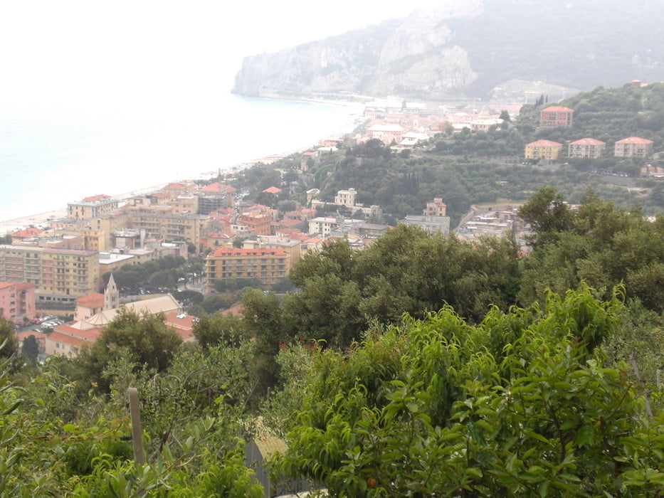
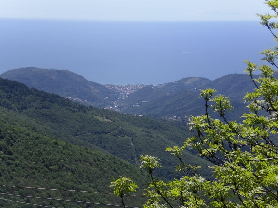
über Calice Ligure hinauf auf Nebensträßchen und festgefahrenen  Schotterwegen hinauf zur Nato Base.

Dann denn Freeridetrail Sentiero H hinab bis Carbuta. Von dort auf der Strasse zurück nach Finalborgo.

Alles im S2-S3 bereich fahrbar.


Галерея маршрутов

Карта маршрута и высотный профиль

  • Open Street Map
  • Google
Minimum height -9 m Maximum height 996 m Детальный вид

More about the tour author

Fruehaufsteher
Member since 2008

Send private message

Комментарии

GPS-Tracks

Trackpoints
  • GPX / Garmin Map Source (gpx) download
  • TCX / Garmin Training Center® (tcx) download
  • CRS / Garmin Training Center® (crs) download
  • Google Earth (kml) download
  • G7ToWin (g7t) download
  • TTQV (trk) download
  • Overlay (ovl) download
  • Fugawi (txt) download
  • Kompass (DAV) Track (tk) download
  • Формуляр маршрута (pdf) download
  • Original file of the author (gpx) download

More about the tour author

Fruehaufsteher
Member since 2008

Send private message
Share track
Add to my favorites
Remove from my favorites
Edit tags
My score
Rate
Маршрут: Finale Ligure - Pian dei Corsi
Вид: Горный велосипед
Длина: 41,6 km
Evaluated on:
Длительность:
Day(s)
Hour(s)
Minute(s)
Оценка: Ландшафт Веселье Кондиция Техника