

Gehzeit ca. 2h (hin und zurück)
Von der Sportzone Antholz Mittertal am Ortsausgang den Weg zu den Eggerhöfen nehmen.
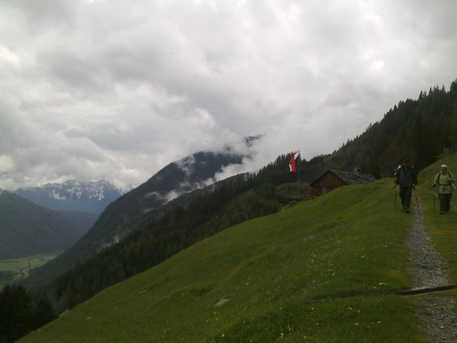
Dort links abbiegen und die Forststraße weiter bis zur Kumpfleralm auf 1.653 Meter.
Leichte bis mittelschwere Wanderung, die teilweise sehr steil ist, aber immer auf breiten und guten Wegen zu gehen ist. Wir sind die "Wanderung" mit 2 Kindern ("Nichtwanderkinder" :o), 7 + 12 Jahre im Juni 2010 glaufen)
Die Kumpflalm ist sehr urig und herlich gelegen. Sehr nette Wirtsleute und Hüttenübliches Essen. Espresso ist zu empfehlen!
Карта маршрута и высотный профиль
Minimum height 1208 m
Maximum height 1640 m
More about the tour author
|
|
champ |
Комментарии

GPS-Tracks
Trackpoints-
GPX / Garmin Map Source (gpx) download
-
TCX / Garmin Training Center® (tcx) download
-
CRS / Garmin Training Center® (crs) download
-
Google Earth (kml) download
-
G7ToWin (g7t) download
-
TTQV (trk) download
-
Overlay (ovl) download
-
Fugawi (txt) download
-
Kompass (DAV) Track (tk) download
-
Формуляр маршрута (pdf) download
-
Original file of the author (gpx) download
More about the tour author
|
|
champ |
Add to my favorites
Remove from my favorites
Edit tags
Open track
My score
Rate