Login

Забыл пароль?

Cookies have to be accepted!
Your browser's cookie functionality is disabled. Please enable this functionality.

Not a member yet?

Register now
Login

Available for registred users only

Log in to use this feature.

Забыл пароль?

Cookies have to be accepted!
Your browser's cookie functionality is disabled. Please enable this functionality.

Not a member yet?

Register now
Filter
Категории
Advanced filters
  • Длина (км)
  • Высотомер
Сохранить фильтр Reset filter

TrackRank

QRCode

Technical data

Длина79,0 km Высотомер1505 m Way down1540 m Длительность00:00 h:m Дата13.06.2010
Оценки Author Ландшафт Веселье Кондиция Техника

Статистика

177 Виды Оценки 51 Загрузки Среднее
Rate
  • Формуляр маршрута
  • Дорога
  • Загрузки

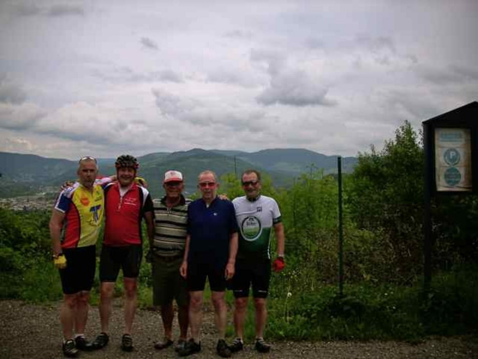
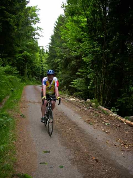
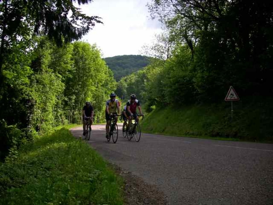
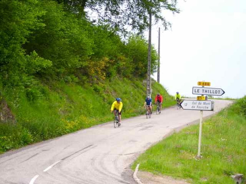
 Die Tour führt über verkehrsarme Strassen und geteerte Waldwege. Die Strecke ist sehr anspruchsvolle, da hinter Belfamey Steigungen bis 20% dabei sind.

Галерея маршрутов

Карта маршрута и высотный профиль

  • Open Street Map
  • Google
Minimum height 351 m Maximum height 916 m Детальный вид

More about the tour author

blanco
Member since 2010

Send private message

Комментарии

GPS-Tracks

Trackpoints
  • GPX / Garmin Map Source (gpx) download
  • TCX / Garmin Training Center® (tcx) download
  • CRS / Garmin Training Center® (crs) download
  • Google Earth (kml) download
  • G7ToWin (g7t) download
  • TTQV (trk) download
  • Overlay (ovl) download
  • Fugawi (txt) download
  • Kompass (DAV) Track (tk) download
  • Формуляр маршрута (pdf) download
  • Original file of the author (gpx) download

More about the tour author

blanco
Member since 2010

Send private message
Share track
Add to my favorites
Remove from my favorites
Edit tags
My score
Rate
Маршрут: Le Tillot
Вид: Гоночный велосипед
Длина: 79,0 km
Evaluated on:
Длительность:
Day(s)
Hour(s)
Minute(s)
Оценка: Ландшафт Веселье Кондиция Техника