Login

Забыл пароль?

Cookies have to be accepted!
Your browser's cookie functionality is disabled. Please enable this functionality.

Not a member yet?

Register now
Login

Available for registred users only

Log in to use this feature.

Забыл пароль?

Cookies have to be accepted!
Your browser's cookie functionality is disabled. Please enable this functionality.

Not a member yet?

Register now
Filter
Категории
Advanced filters
  • Длина (км)
  • Высотомер
Сохранить фильтр Reset filter

TrackRank

QRCode

Technical data

Длина122,2 km Высотомер1359 m Way down1355 m Длительность07:00 h:m Дата14.06.2010
Оценки Author User Ландшафт Веселье Кондиция Техника

Статистика

553 Виды Оценки 18 Загрузки Среднее
Rate
  • Формуляр маршрута
  • Дорога
  • Загрузки

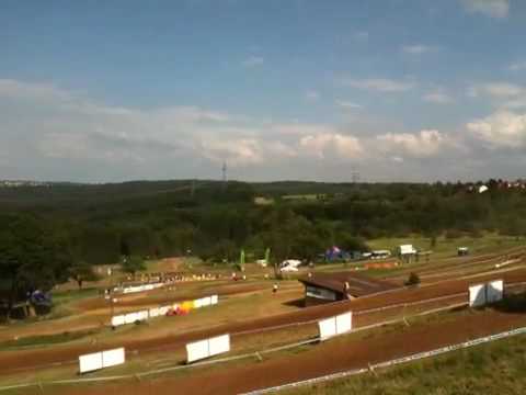
Motorradtour zum 50. Internationalen ADAC-Masters-Motocross

Further information at

http://www.motocross-aichwald.de/

Галерея маршрутов

Карта маршрута и высотный профиль

  • Open Street Map
  • Google
Minimum height 255 m Maximum height 578 m Детальный вид

More about the tour author

Salomon
Member since 2009

Send private message

Комментарии

Anfahrt über den Naturpark-Schwäbisch-Fränkischer Wald.

Leider war das Wetter etwas regnerisch.

Motocross selber war fantastisch.

"Motorsport Hautnah"


GPS-Tracks

Trackpoints
  • GPX / Garmin Map Source (gpx) download
  • TCX / Garmin Training Center® (tcx) download
  • CRS / Garmin Training Center® (crs) download
  • Google Earth (kml) download
  • G7ToWin (g7t) download
  • TTQV (trk) download
  • Overlay (ovl) download
  • Fugawi (txt) download
  • Kompass (DAV) Track (tk) download
  • Формуляр маршрута (pdf) download
  • Original file of the author (gpx) download

More about the tour author

Salomon
Member since 2009

Send private message
Share track
Add to my favorites
Remove from my favorites
Edit tags
My score
Rate
Маршрут: Motocross Aichwald
Вид: Мотоцикл
Длина: 122,2 km
Evaluated on:
Длительность:
Day(s)
Hour(s)
Minute(s)
Оценка: Ландшафт Веселье Кондиция Техника