Login

Забыл пароль?

Cookies have to be accepted!
Your browser's cookie functionality is disabled. Please enable this functionality.

Not a member yet?

Register now
Login

Available for registred users only

Log in to use this feature.

Забыл пароль?

Cookies have to be accepted!
Your browser's cookie functionality is disabled. Please enable this functionality.

Not a member yet?

Register now
Filter
Категории
Advanced filters
  • Длина (км)
  • Высотомер
Сохранить фильтр Reset filter

TrackRank

QRCode

Technical data

Длина13,8 km Высотомер796 m Way down858 m Длительность08:00 h:m Дата19.06.2010
Оценки Author Ландшафт Веселье Кондиция Техника

Статистика

306 Виды Оценки 29 Загрузки Среднее
Rate
  • Формуляр маршрута
  • Дорога
  • Загрузки

 In Anlehnung an Tour Nr. 12 in Christian Zindel, Barbara Hausammann "Wanderführer Nordalbanien - Thethi und Kelmend" (München 2008), ISBN 978-3-940686-19-0

Карта маршрута и высотный профиль

  • Open Street Map
  • Google
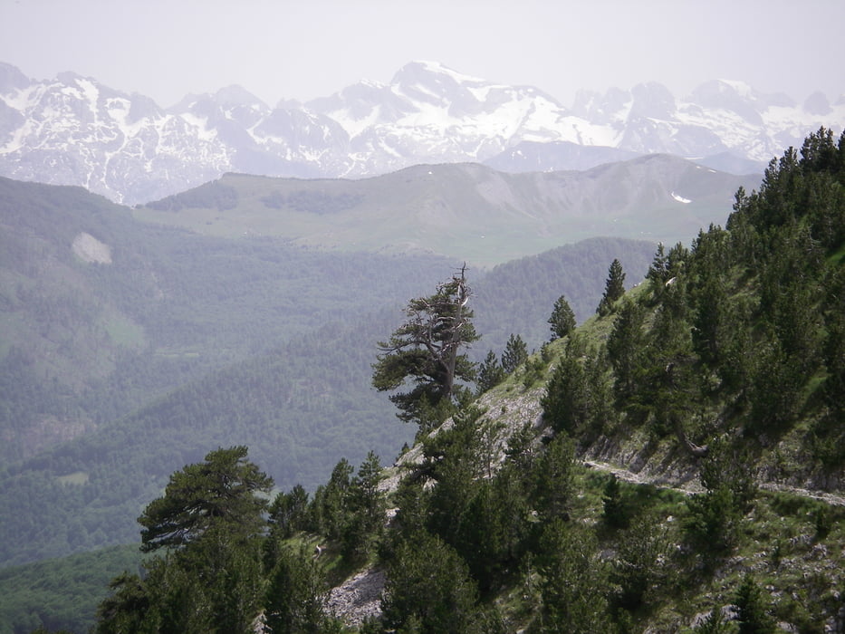
Minimum height 1085 m Maximum height 1920 m Детальный вид

More about the tour author

lohanhe
Member since 2010

Send private message

Комментарии

 siehe Tour Nr. 12 in Christian Zindel, Barbara Hausammann "Wanderführer Nordalbanien - Thethi und Kelmend" (München 2008), ISBN 978-3-940686-19-0

GPS-Tracks

Trackpoints
  • GPX / Garmin Map Source (gpx) download
  • TCX / Garmin Training Center® (tcx) download
  • CRS / Garmin Training Center® (crs) download
  • Google Earth (kml) download
  • G7ToWin (g7t) download
  • TTQV (trk) download
  • Overlay (ovl) download
  • Fugawi (txt) download
  • Kompass (DAV) Track (tk) download
  • Формуляр маршрута (pdf) download
  • Original file of the author (gpx) download

More about the tour author

lohanhe
Member since 2010

Send private message
Share track
Add to my favorites
Remove from my favorites
Edit tags
My score
Rate
Маршрут: Vermosh Memis Grab
Вид: Горный маршрут
Длина: 13,8 km
Evaluated on:
Длительность:
Day(s)
Hour(s)
Minute(s)
Оценка: Ландшафт Веселье Кондиция Техника