


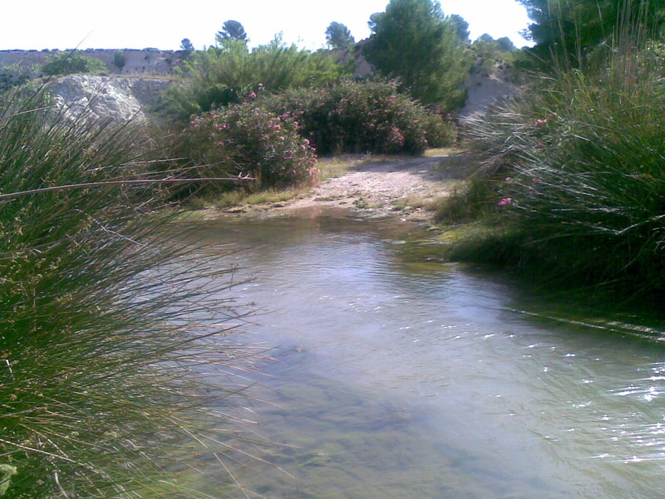
La ruta parte de Calasparra y, tras rodear la Sierra de San Miguel por la cara norte, se cogen los caminos rumbo de Moratalla. Esta vez fuimos dirección sur hasta coger la carretera de Moratalla, y después de unos kilómetros la dejamos para coger un camino asfaltado que lleva hasta el río Moratalla y el llamado "Molino del Batán".
Volvemos cruzando el río por la "Casa Carrasco" y llegando hasta la Sierra de San Miguel, donde subimos hasta el camino que va por la parte sur de la misma entrando a Calasparra por la zona del polideportivo.
Галерея маршрутов


Карта маршрута и высотный профиль
Minimum height 348 m
Maximum height 473 m
More about the tour author

|
agustincb |
Комментарии

GPS-Tracks
Trackpoints-
GPX / Garmin Map Source (gpx) download
-
TCX / Garmin Training Center® (tcx) download
-
CRS / Garmin Training Center® (crs) download
-
Google Earth (kml) download
-
G7ToWin (g7t) download
-
TTQV (trk) download
-
Overlay (ovl) download
-
Fugawi (txt) download
-
Kompass (DAV) Track (tk) download
-
Формуляр маршрута (pdf) download
-
Original file of the author (gpx) download
More about the tour author
|
|
agustincb |
Add to my favorites
Remove from my favorites
Edit tags
Open track
My score
Rate