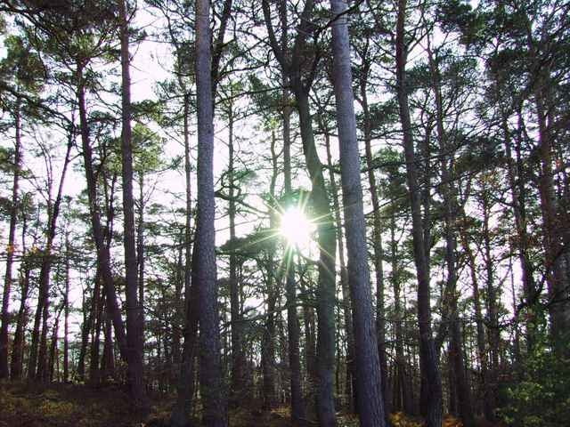
Naherholungstour auf einem Höhenweg um im November möglichst in der Sonne zu laufen. Nach zwei Drittel des Weges Einkehr in die Hellerhütte mit Handkäs oder Kaffee und Kuchen. Danach leicht fallender Weg am Bach entlang.
Further information at
http://www.pwv-neustadt.de/Hellerhuette/hellerhuette.htmГалерея маршрутов
Карта маршрута и высотный профиль
Minimum height 213 m
Maximum height 574 m
Комментарии

GPS-Tracks
Trackpoints-
GPX / Garmin Map Source (gpx) download
-
TCX / Garmin Training Center® (tcx) download
-
CRS / Garmin Training Center® (crs) download
-
Google Earth (kml) download
-
G7ToWin (g7t) download
-
TTQV (trk) download
-
Overlay (ovl) download
-
Fugawi (txt) download
-
Kompass (DAV) Track (tk) download
-
Формуляр маршрута (pdf) download
-
Original file of the author (gpx) download
Add to my favorites
Remove from my favorites
Edit tags
Open track
My score
Rate


