
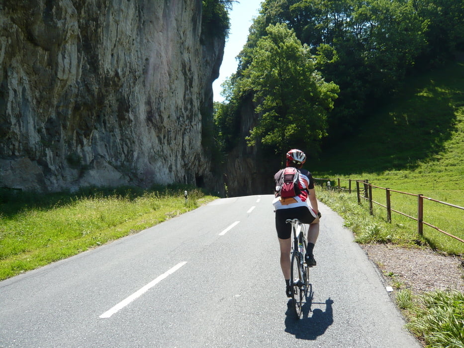

Wir haben diese Tour vom Grenzübergang in Hohenems aus gestartet. Man umrundet dabei das Alpsteinmassiv mit den bekannten Bergen "Hoher Kasten" und "Säntis". Leider sind wir etwas spät losgefahren, ansonsten wären wir gerne noch mit der Bahn auf den Säntis hinaufgefahren. Es ist eine landschaftlich sehr schöne, aber auch anstrengende Tour.
Der Anstieg zur Schwägalp (wo die Talstation der Säntisbahn ist) hat es in sich und auch das spätere, ständige Auf und Ab verlangt einem ziemlich einiges ab.
Dennoch eine sehr empfehlenswerte Tour.
Галерея маршрутов


Карта маршрута и высотный профиль
Minimum height 409 m
Maximum height 1326 m
More about the tour author
|
|
Gueni |
Комментарии

GPS-Tracks
Trackpoints-
GPX / Garmin Map Source (gpx) download
-
TCX / Garmin Training Center® (tcx) download
-
CRS / Garmin Training Center® (crs) download
-
Google Earth (kml) download
-
G7ToWin (g7t) download
-
TTQV (trk) download
-
Overlay (ovl) download
-
Fugawi (txt) download
-
Kompass (DAV) Track (tk) download
-
Формуляр маршрута (pdf) download
-
Original file of the author (gpx) download
More about the tour author
|
|
Gueni |
Add to my favorites
Remove from my favorites
Edit tags
Open track
My score
Rate