Login

Забыл пароль?

Cookies have to be accepted!
Your browser's cookie functionality is disabled. Please enable this functionality.

Not a member yet?

Register now
Login

Available for registred users only

Log in to use this feature.

Забыл пароль?

Cookies have to be accepted!
Your browser's cookie functionality is disabled. Please enable this functionality.

Not a member yet?

Register now
Filter
Категории
Advanced filters
  • Длина (км)
  • Высотомер
Сохранить фильтр Reset filter

TrackRank

QRCode

Technical data

Длина104,1 km Высотомер2349 m Way down2770 m Длительность2 days 0 h Дата08.07.2010
Оценки Author Ландшафт Веселье Кондиция Техника

Статистика

2238 Виды 2 Оценки 112 Загрузки 4.50 Среднее
Rate
  • Формуляр маршрута
  • Дорога
  • Загрузки

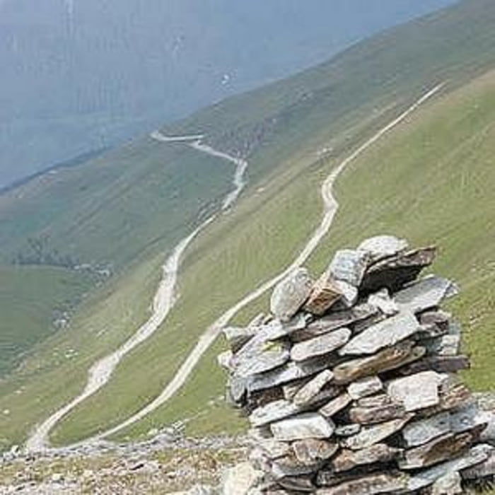
In 2004 Transalpina nu intrase inca in asfaltare. Drumul era in marea majoritate drum de munte, cu "numeroase izvoare". Peisajul a fost extraordinar.

In prima zi am plecat din Petrosani si am urcat pana la Obarsia Lotrului. Acolo am facut pauza de masa si apoi am plecat spre Ranca. Pe ploaie si pe semi intuneric am coborat de pe Papusa spre Ranca, unde ne-am si oprit.

A doua zi, am coborat in Novaci, si de acolo, pe soselele patriei pana la Tg. Carbunesti.

Super!!!

Галерея маршрутов

Карта маршрута и высотный профиль

  • Open Street Map
  • Google
Minimum height 193 m Maximum height 2128 m Детальный вид

More about the tour author

ungureanub
Member since 2008

Send private message

Комментарии

conualfy on 24.08.2011

This is only partial Transalpina

Transalpina is actually the road from Novaci to Sebes, crossing the whole Carpathians and the highest asphalted road in Romania (higher than TransFagarasan).
Salomon on 14.10.2012

Transalpina

schöne Strecke, ab diesem Jahr komplett geteert, gut zu fahren mit PKW. Höchsten Spassfaktor mit Motorrad von Süd nach Nord.

Petrosani - Obarsia Lotrului - Ranca - Novaci - Tg Carbunesti

GPS-Tracks

Trackpoints
  • GPX / Garmin Map Source (gpx) download
  • TCX / Garmin Training Center® (tcx) download
  • CRS / Garmin Training Center® (crs) download
  • Google Earth (kml) download
  • G7ToWin (g7t) download
  • TTQV (trk) download
  • Overlay (ovl) download
  • Fugawi (txt) download
  • Kompass (DAV) Track (tk) download
  • Формуляр маршрута (pdf) download
  • Original file of the author (gpx) download

More about the tour author

ungureanub
Member since 2008

Send private message
Share track
Add to my favorites
Remove from my favorites
Edit tags
My score
Rate
Маршрут: TransAlpina
Вид: Горный велосипед
Длина: 104,1 km
Evaluated on:
Длительность:
Day(s)
Hour(s)
Minute(s)
Оценка: Ландшафт Веселье Кондиция Техника