Login

Забыл пароль?

Cookies have to be accepted!
Your browser's cookie functionality is disabled. Please enable this functionality.

Not a member yet?

Register now
Login

Available for registred users only

Log in to use this feature.

Забыл пароль?

Cookies have to be accepted!
Your browser's cookie functionality is disabled. Please enable this functionality.

Not a member yet?

Register now
Filter
Категории
Advanced filters
  • Длина (км)
  • Высотомер
Сохранить фильтр Reset filter

TrackRank

QRCode

Technical data

Длина85,1 km Высотомер2551 m Way down2523 m Длительность06:30 h:m Дата13.07.2010
Оценки Author Ландшафт Веселье Кондиция Техника

Статистика

1922 Виды Оценки 127 Загрузки Среднее
Rate
  • Формуляр маршрута
  • Дорога
  • Загрузки

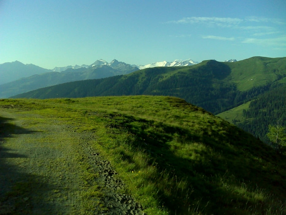
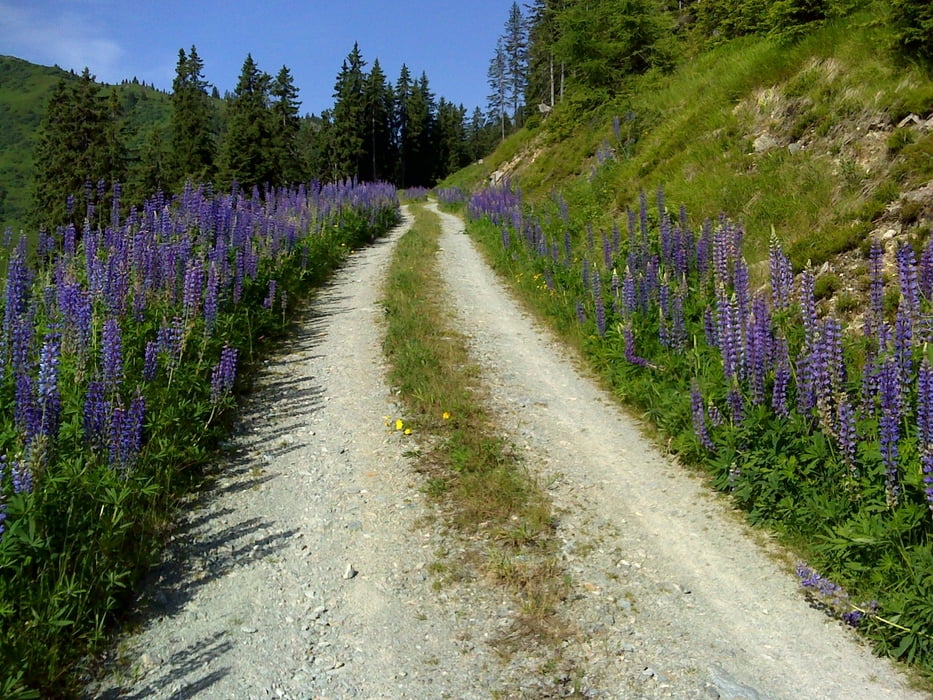
Hollersbach - Mühlbach im Pinzgau - Mühlbachtal - Baumgartenalm - Stangenalm - Rettensteinalm - Aschau - kurz vor Tal Station Ki West - rechts Richtung Brechhornhaus - Brechhornhaus - Richtung Westendorf - RIchtung Windau - Gasthof Jagahäusl - Gamskogelhütte, Schreier Bründl - Filzensattel - Neukirchen am Großvenediger,  rechts entlang der Salzach retour nach Hollersbach

Галерея маршрутов

Карта маршрута и высотный профиль

  • Open Street Map
  • Google
Minimum height 798 m Maximum height 1724 m Детальный вид

More about the tour author

robstoe
Member since 2010

Send private message

Комментарии

GPS-Tracks

Trackpoints
  • GPX / Garmin Map Source (gpx) download
  • TCX / Garmin Training Center® (tcx) download
  • CRS / Garmin Training Center® (crs) download
  • Google Earth (kml) download
  • G7ToWin (g7t) download
  • TTQV (trk) download
  • Overlay (ovl) download
  • Fugawi (txt) download
  • Kompass (DAV) Track (tk) download
  • Формуляр маршрута (pdf) download
  • Original file of the author (gpx) download

More about the tour author

robstoe
Member since 2010

Send private message
Share track
Add to my favorites
Remove from my favorites
Edit tags
My score
Rate
Маршрут: von Hollersbach um den großen Rettenstein (Stangenjoch - Brechhornhaus - Filzensattel)
Вид: Горный велосипед
Длина: 85,1 km
Evaluated on:
Длительность:
Day(s)
Hour(s)
Minute(s)
Оценка: Ландшафт Веселье Кондиция Техника