Login

Забыл пароль?

Cookies have to be accepted!
Your browser's cookie functionality is disabled. Please enable this functionality.

Not a member yet?

Register now
Login

Available for registred users only

Log in to use this feature.

Забыл пароль?

Cookies have to be accepted!
Your browser's cookie functionality is disabled. Please enable this functionality.

Not a member yet?

Register now
Filter
Категории
Advanced filters
  • Длина (км)
  • Высотомер
Сохранить фильтр Reset filter

TrackRank

QRCode

Technical data

Длина62,5 km Высотомер2324 m Way down2318 m Длительность06:20 h:m Дата22.07.2010
Оценки Author Ландшафт Веселье Кондиция Техника

Статистика

1829 Виды 2 Оценки 398 Загрузки 5.00 Среднее
Rate
  • Формуляр маршрута
  • Дорога
  • Загрузки

15. Juli 2010

Die OHNE-RUCKSACK-Tour zum Alpencross Schruns - Riva

www.gps-tour.info/de/touren/detail.62736.html

Eine gute Beschreibung dieser und anderer Touren am Gardasee gibt es auf 

 www.alpenx-xl.de

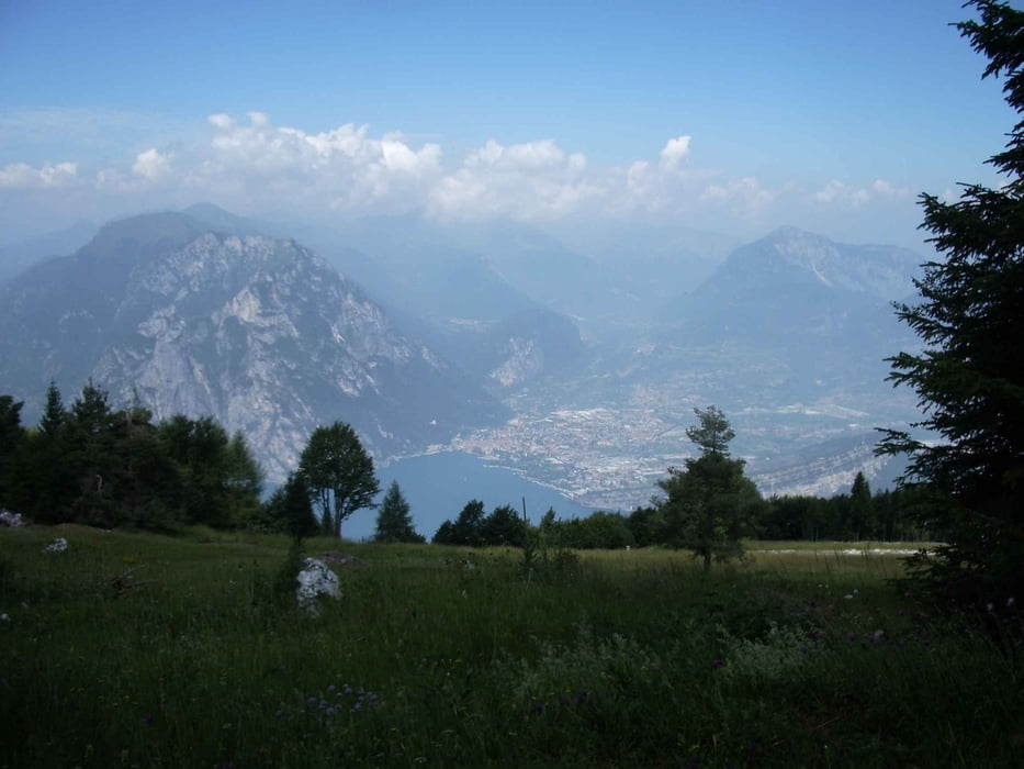
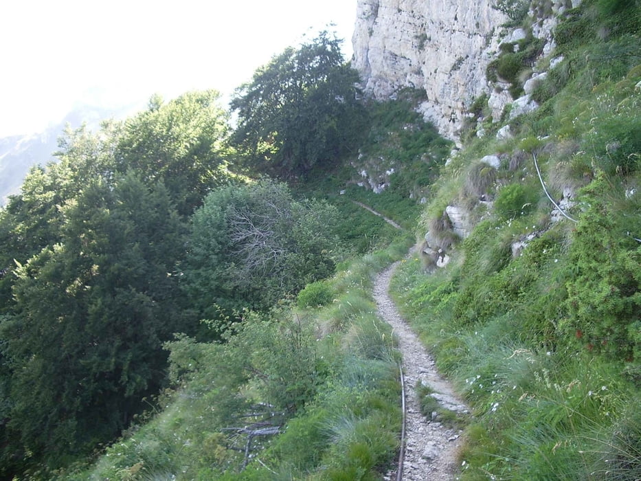
Die Tour endet an der Sarca. Wer sich dort nicht verfransen will, sollte von Nago direkt nach Torbole runterfahren oder schön dem Track nachfahren.

Галерея маршрутов

Карта маршрута и высотный профиль

  • Open Street Map
  • Google
Minimum height 61 m Maximum height 2063 m Детальный вид

More about the tour author

wsbl54
Member since 2009

Send private message

Комментарии

AlpenX-XL.de on 01.08.2010

Danke...

für das nette verlinken...
Beste Grüße
Thomas

Start und Ziel in Riva S. Nicolo

GPS-Tracks

Trackpoints
  • GPX / Garmin Map Source (gpx) download
  • TCX / Garmin Training Center® (tcx) download
  • CRS / Garmin Training Center® (crs) download
  • Google Earth (kml) download
  • G7ToWin (g7t) download
  • TTQV (trk) download
  • Overlay (ovl) download
  • Fugawi (txt) download
  • Kompass (DAV) Track (tk) download
  • Формуляр маршрута (pdf) download
  • Original file of the author (gpx) download

More about the tour author

wsbl54
Member since 2009

Send private message
Share track
Add to my favorites
Remove from my favorites
Edit tags
My score
Rate
Маршрут: Altissimo
Вид: Горный велосипед
Длина: 62,5 km
Evaluated on:
Длительность:
Day(s)
Hour(s)
Minute(s)
Оценка: Ландшафт Веселье Кондиция Техника