Login

Забыл пароль?

Cookies have to be accepted!
Your browser's cookie functionality is disabled. Please enable this functionality.

Not a member yet?

Register now
Login

Available for registred users only

Log in to use this feature.

Забыл пароль?

Cookies have to be accepted!
Your browser's cookie functionality is disabled. Please enable this functionality.

Not a member yet?

Register now
Filter
Категории
Advanced filters
  • Длина (км)
  • Высотомер
Сохранить фильтр Reset filter

TrackRank

QRCode

Technical data

Длина45,1 km Высотомер503 m Way down493 m Длительность02:45 h:m Дата02.08.2010
Оценки Author Ландшафт Веселье Кондиция Техника

Статистика

610 Виды Оценки 134 Загрузки Среднее
Rate
  • Формуляр маршрута
  • Дорога
  • Загрузки

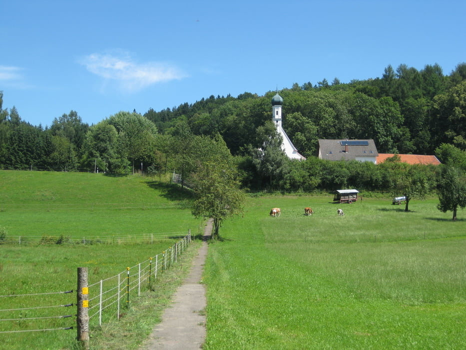
Start ist Niederraunau an der Kirche.

Die Tour führt meistens auf Feld- und Waldwege entlang.

Sie kann auch mit meiner Tour 59372 verknüpft werden dann hat sie ca. 71 Km mit 900 Hm.

Галерея маршрутов

Карта маршрута и высотный профиль

  • Open Street Map
  • Google
Minimum height 492 m Maximum height 593 m Детальный вид

More about the tour author

XD42
Member since 2008

Send private message

Комментарии

GPS-Tracks

Trackpoints
  • GPX / Garmin Map Source (gpx) download
  • TCX / Garmin Training Center® (tcx) download
  • CRS / Garmin Training Center® (crs) download
  • Google Earth (kml) download
  • G7ToWin (g7t) download
  • TTQV (trk) download
  • Overlay (ovl) download
  • Fugawi (txt) download
  • Kompass (DAV) Track (tk) download
  • Формуляр маршрута (pdf) download
  • Original file of the author (gpx) download

More about the tour author

XD42
Member since 2008

Send private message
Share track
Add to my favorites
Remove from my favorites
Edit tags
My score
Rate
Маршрут: Horst´s Kapellenrunde
Вид: Горный велосипед
Длина: 45,1 km
Evaluated on:
Длительность:
Day(s)
Hour(s)
Minute(s)
Оценка: Ландшафт Веселье Кондиция Техника