

Aufstieg: 2Stunden 25 Minuten
Abstieg: 1 Stunde 20 Minuten
Zustieg:
Vom Parkplatz folgt man dem Forstweg links zu einer Brücke, dann weiter in südlicher Richtung bis zu dem Weg , der zum Posporcorapass abzweigt (408). Dem Weg bis zum Pass folgen, dann rechts abbiegen. Über einen sehr steilen Steig durch eine Latschenzone aufwärts, bis man zum Einstieg nach einer Höhle kommt.
Abstieg:
Vom Gipfel den markierten Weg (447) in nördlicher Richtung folgen.
Vorbei an alten Stellungen bis man wieder zum Forstweg kommt.
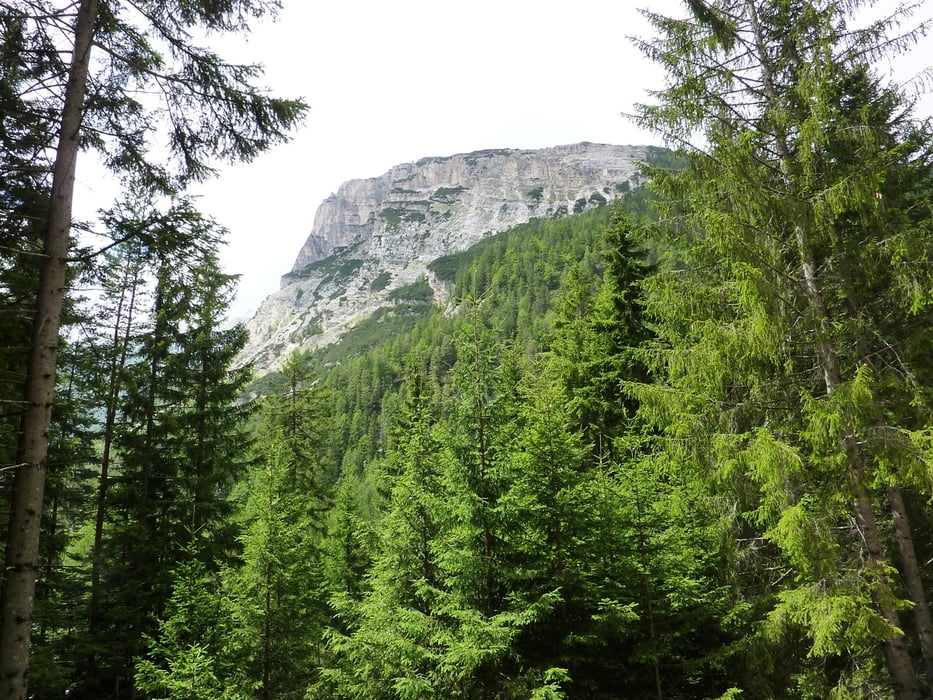
Галерея маршрутов


Карта маршрута и высотный профиль
Minimum height 1307 m
Maximum height 2160 m
More about the tour author
|
|
harald07071 |
Комментарии

Von Cortina fährt man in Richtung Norden auf der Straße Podestagno/Toblach bis nach dem alten Flugplatz links eine Staße abzweigt.
GPS-Tracks
Trackpoints-
GPX / Garmin Map Source (gpx) download
-
TCX / Garmin Training Center® (tcx) download
-
CRS / Garmin Training Center® (crs) download
-
Google Earth (kml) download
-
G7ToWin (g7t) download
-
TTQV (trk) download
-
Overlay (ovl) download
-
Fugawi (txt) download
-
Kompass (DAV) Track (tk) download
-
Формуляр маршрута (pdf) download
-
Original file of the author (gpx) download
More about the tour author
|
|
harald07071 |
Add to my favorites
Remove from my favorites
Edit tags
Open track
My score
Rate