Login

Забыл пароль?

Cookies have to be accepted!
Your browser's cookie functionality is disabled. Please enable this functionality.

Not a member yet?

Register now
Login

Available for registred users only

Log in to use this feature.

Забыл пароль?

Cookies have to be accepted!
Your browser's cookie functionality is disabled. Please enable this functionality.

Not a member yet?

Register now
Filter
Категории
Advanced filters
  • Длина (км)
  • Высотомер
Сохранить фильтр Reset filter

TrackRank

QRCode

Technical data

Длина57,4 km Высотомер1348 m Way down1315 m Длительность03:00 h:m Дата08.08.2010
Оценки Author Ландшафт Веселье Кондиция Техника

Статистика

1333 Виды Оценки 175 Загрузки Среднее
Rate
  • Формуляр маршрута
  • Дорога
  • Загрузки

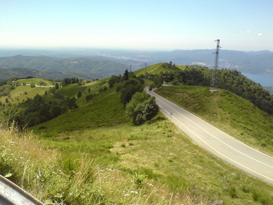
Von Feriolo am Lago Magiore über Gravellona Toce und Omegna auf den Monte Mottarone (1491 m ü NN). Der Rückweg geht über Gignese und Baveno zurück nach Feriolo (Camping Conca d'Oro)

Галерея маршрутов

Карта маршрута и высотный профиль

  • Open Street Map
  • Google
Minimum height 191 m Maximum height 1431 m Детальный вид

More about the tour author

andyderbiker
Member since 2009

Send private message

Комментарии

GPS-Tracks

Trackpoints
  • GPX / Garmin Map Source (gpx) download
  • TCX / Garmin Training Center® (tcx) download
  • CRS / Garmin Training Center® (crs) download
  • Google Earth (kml) download
  • G7ToWin (g7t) download
  • TTQV (trk) download
  • Overlay (ovl) download
  • Fugawi (txt) download
  • Kompass (DAV) Track (tk) download
  • Формуляр маршрута (pdf) download
  • Original file of the author (gpx) download

More about the tour author

andyderbiker
Member since 2009

Send private message
Share track
Add to my favorites
Remove from my favorites
Edit tags
My score
Rate
Маршрут: Monte Mottarone
Вид: Гоночный велосипед
Длина: 57,4 km
Evaluated on:
Длительность:
Day(s)
Hour(s)
Minute(s)
Оценка: Ландшафт Веселье Кондиция Техника