


Motorradrundfahrt mit Start- und Zielpunkt München.
Schweiz :
Klausenpass (1.948 m)
Dammastock-Umrundung (Susten-, Grimsel- und Furkapass)
Nufenen-Pass (2.478 m)
Albulapass (2.312 m)
...
Frankreich :
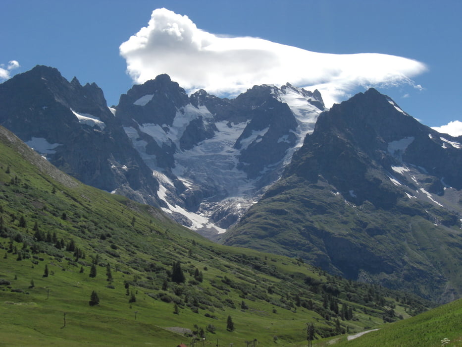
Col du Galibier
Col du Iseran
...
Галерея маршрутов
Карта маршрута и высотный профиль
Minimum height 421 m
Maximum height 2773 m
More about the tour author

|
maggi68 |
Комментарии

GPS-Tracks
Trackpoints-
GPX / Garmin Map Source (gpx) download
-
TCX / Garmin Training Center® (tcx) download
-
CRS / Garmin Training Center® (crs) download
-
Google Earth (kml) download
-
G7ToWin (g7t) download
-
TTQV (trk) download
-
Overlay (ovl) download
-
Fugawi (txt) download
-
Kompass (DAV) Track (tk) download
-
Формуляр маршрута (pdf) download
-
Original file of the author (gpx) download
More about the tour author
|
|
maggi68 |
Add to my favorites
Remove from my favorites
Edit tags
Open track
My score
Rate