
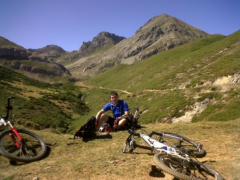

Bonita ruta de BTT mayormente por pista.
La subida es bastante progresiva, aunque con 3 zonas de rampas mas duras (especialmente la zona intermedia), pero el esfuerzo se ve recompensado por las vistas y la tranquilidad de estos valles. Ojo.- Hasta bien avanzada la primavera en la zona mas alta la nieve puede cubrir parte de la pista.
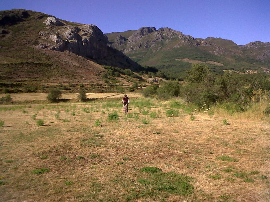
Indicaros que tiene varias posibilidades de modificarla bajando (o subiendo, aunque en este caso es ascenso es bastante mas duro) hacia otros pueblos como Robledo, Cospedal o Torrestio (en este caso parte del descenso es por pradería).
Localidades de referencia: San Emiliano, La Majua, Torre de Babia
Галерея маршрутов

Карта маршрута и высотный профиль
Minimum height 1109 m
Maximum height 1676 m
More about the tour author
|
|
sergiomf |
Комментарии

GPS-Tracks
Trackpoints-
GPX / Garmin Map Source (gpx) download
-
TCX / Garmin Training Center® (tcx) download
-
CRS / Garmin Training Center® (crs) download
-
Google Earth (kml) download
-
G7ToWin (g7t) download
-
TTQV (trk) download
-
Overlay (ovl) download
-
Fugawi (txt) download
-
Kompass (DAV) Track (tk) download
-
Формуляр маршрута (pdf) download
-
Original file of the author (gpx) download
More about the tour author
|
|
sergiomf |
Add to my favorites
Remove from my favorites
Edit tags
Open track
My score
Rate