Login

Забыл пароль?

Cookies have to be accepted!
Your browser's cookie functionality is disabled. Please enable this functionality.

Not a member yet?

Register now
Login

Available for registred users only

Log in to use this feature.

Забыл пароль?

Cookies have to be accepted!
Your browser's cookie functionality is disabled. Please enable this functionality.

Not a member yet?

Register now
Filter
Категории
Advanced filters
  • Длина (км)
  • Высотомер
Сохранить фильтр Reset filter

TrackRank

QRCode

Technical data

Длина10,6 km Высотомер863 m Way down851 m Длительность04:00 h:m Дата23.08.2010
Оценки Author Ландшафт Веселье Кондиция Техника

Статистика

867 Виды Оценки 40 Загрузки Среднее
Rate
  • Формуляр маршрута
  • Дорога
  • Загрузки

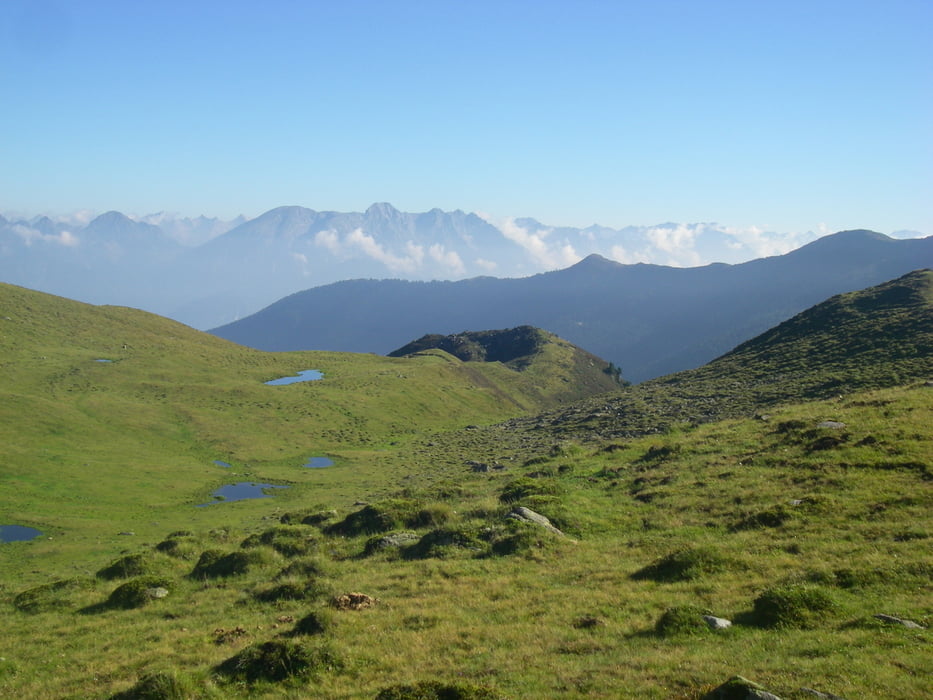
Rundtour von der Potsdamer Hütte über Roter Kogel und Soemen. Oberhalb der Potsdamer Hütte eine Hochebene der "100 Seen".

Галерея маршрутов

Карта маршрута и высотный профиль

  • Open Street Map
  • Google
Minimum height 2021 m Maximum height 2823 m Детальный вид

More about the tour author

radrige
Member since 2008

Send private message

Комментарии

Austieg zur Potsdamer Hütte von Bergheim Fotsch ca. 1,5 h.

GPS-Tracks

Trackpoints
  • GPX / Garmin Map Source (gpx) download
  • TCX / Garmin Training Center® (tcx) download
  • CRS / Garmin Training Center® (crs) download
  • Google Earth (kml) download
  • G7ToWin (g7t) download
  • TTQV (trk) download
  • Overlay (ovl) download
  • Fugawi (txt) download
  • Kompass (DAV) Track (tk) download
  • Формуляр маршрута (pdf) download
  • Original file of the author (gpx) download

More about the tour author

radrige
Member since 2008

Send private message
Share track
Add to my favorites
Remove from my favorites
Edit tags
My score
Rate
Маршрут: Roter Kogel
Вид: Горный маршрут
Длина: 10,6 km
Evaluated on:
Длительность:
Day(s)
Hour(s)
Minute(s)
Оценка: Ландшафт Веселье Кондиция Техника