Login

Забыл пароль?

Cookies have to be accepted!
Your browser's cookie functionality is disabled. Please enable this functionality.

Not a member yet?

Register now
Login

Available for registred users only

Log in to use this feature.

Забыл пароль?

Cookies have to be accepted!
Your browser's cookie functionality is disabled. Please enable this functionality.

Not a member yet?

Register now
Filter
Категории
Advanced filters
  • Длина (км)
  • Высотомер
Сохранить фильтр Reset filter

TrackRank

QRCode

Technical data

Длина11,2 km Высотомер192 m Way down213 m Длительность02:11 h:m Дата26.08.2010
Оценки Author Ландшафт Веселье Кондиция Техника

Статистика

89 Виды Оценки 9 Загрузки Среднее
Rate
  • Формуляр маршрута
  • Дорога
  • Загрузки

17.8.2010

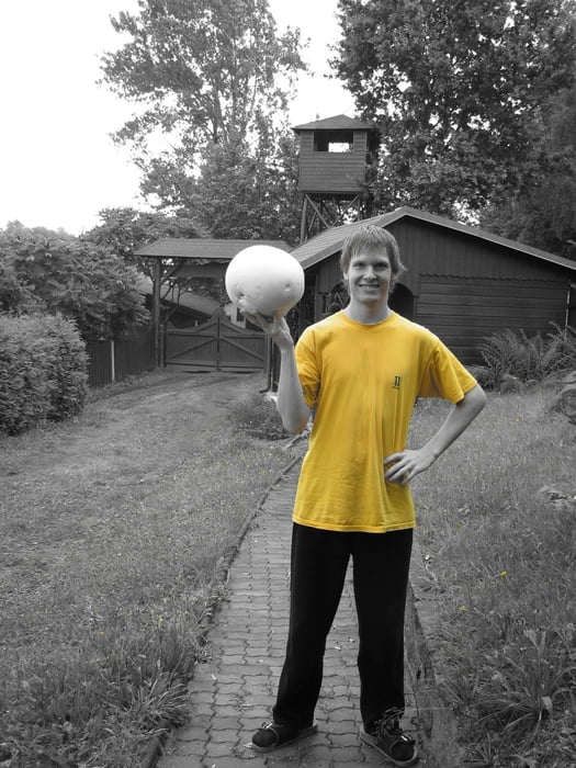
Do Miletína sme šli po trase Podkrkonošského maratónu a cestou našli dubáky a 3 vatovce veľkosti hlavy. Jeden sme darovali predavačke v miestnych potravinách, vášnivej hubárke.

Карта маршрута и высотный профиль

  • Open Street Map
  • Google
Minimum height 364 m Maximum height 470 m Детальный вид

More about the tour author

tmax
Member since 2007

Send private message

Комментарии

Trotina

GPS-Tracks

Trackpoints
  • GPX / Garmin Map Source (gpx) download
  • TCX / Garmin Training Center® (tcx) download
  • CRS / Garmin Training Center® (crs) download
  • Google Earth (kml) download
  • G7ToWin (g7t) download
  • TTQV (trk) download
  • Overlay (ovl) download
  • Fugawi (txt) download
  • Kompass (DAV) Track (tk) download
  • Формуляр маршрута (pdf) download
  • Original file of the author (gpx) download

More about the tour author

tmax
Member since 2007

Send private message
Share track
Add to my favorites
Remove from my favorites
Edit tags
My score
Rate
Маршрут: 20100817_Do Miletína na obed, zbieranie húb
Вид: Пешеходный туризм
Длина: 11,2 km
Evaluated on:
Длительность:
Day(s)
Hour(s)
Minute(s)
Оценка: Ландшафт Веселье Кондиция Техника