Login

Забыл пароль?

Cookies have to be accepted!
Your browser's cookie functionality is disabled. Please enable this functionality.

Not a member yet?

Register now
Login

Available for registred users only

Log in to use this feature.

Забыл пароль?

Cookies have to be accepted!
Your browser's cookie functionality is disabled. Please enable this functionality.

Not a member yet?

Register now
Filter
Категории
Advanced filters
  • Длина (км)
  • Высотомер
Сохранить фильтр Reset filter

TrackRank

QRCode

Technical data

Длина26,1 km Высотомер212 m Way down203 m Длительность01:15 h:m Дата30.08.2010
Оценки Author Ландшафт Веселье Кондиция Техника

Статистика

1837 Виды Оценки 88 Загрузки Среднее
Rate
  • Формуляр маршрута
  • Дорога
  • Загрузки

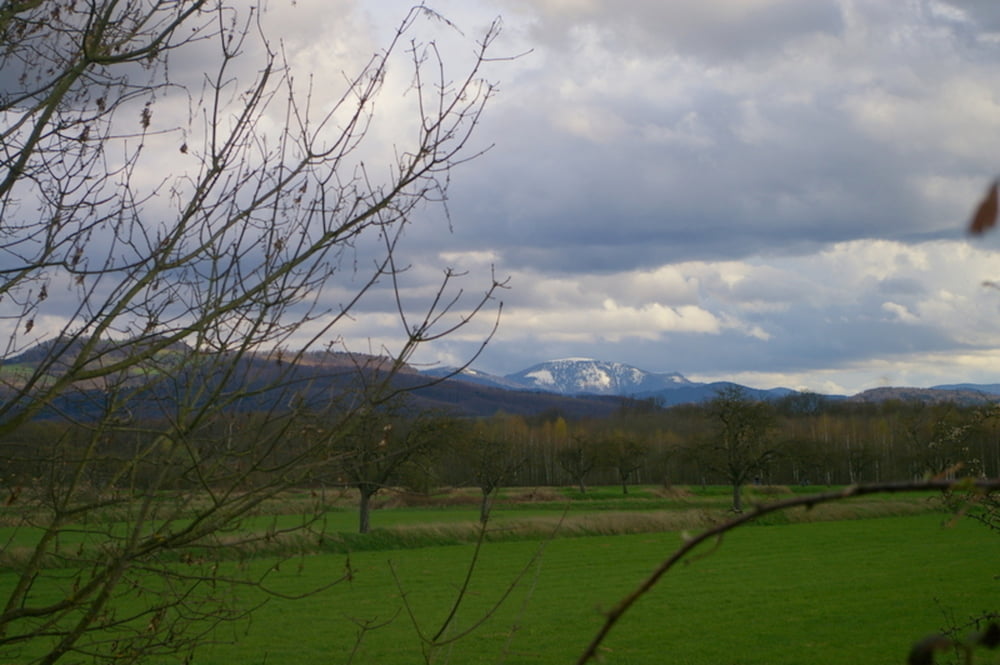
Eine nette kurze Tour, ideal für Frühling oder Herbst. Durchgehend asphaltiert und fast Autofrei. Der Tuniberg-Höhenweg führ zwar durch flurbereinigte Landschaft, bietet jedoch ein tolles Panorama auf Schwarzwald und Kaiserstuhl. Es sind nur kurze Anstiege zu bewältigen.

Карта маршрута и высотный профиль

  • Open Street Map
  • Google
Minimum height 194 m Maximum height 302 m Детальный вид

More about the tour author

Scott
Member since 2004

Send private message

Комментарии

Start ist im Freiburger Rieselfeld, schnell von der Stadtmitte zu erreichen. Alternativ kann die Tour auch sehr gut in Waltershofen begonnen werden.

GPS-Tracks

Trackpoints
  • GPX / Garmin Map Source (gpx) download
  • TCX / Garmin Training Center® (tcx) download
  • CRS / Garmin Training Center® (crs) download
  • Google Earth (kml) download
  • G7ToWin (g7t) download
  • TTQV (trk) download
  • Overlay (ovl) download
  • Fugawi (txt) download
  • Kompass (DAV) Track (tk) download
  • Формуляр маршрута (pdf) download
  • Original file of the author (gpx) download

More about the tour author

Scott
Member since 2004

Send private message
Share track
Add to my favorites
Remove from my favorites
Edit tags
My score
Rate
Маршрут: Panoramatour auf dem Tuniberg Höhenweg
Вид: Гоночный велосипед
Длина: 26,1 km
Evaluated on:
Длительность:
Day(s)
Hour(s)
Minute(s)
Оценка: Ландшафт Веселье Кондиция Техника