Login

Забыл пароль?

Cookies have to be accepted!
Your browser's cookie functionality is disabled. Please enable this functionality.

Not a member yet?

Register now
Login

Available for registred users only

Log in to use this feature.

Забыл пароль?

Cookies have to be accepted!
Your browser's cookie functionality is disabled. Please enable this functionality.

Not a member yet?

Register now
Filter
Категории
Advanced filters
  • Длина (км)
  • Высотомер
Сохранить фильтр Reset filter

TrackRank

QRCode

Technical data

Длина17,9 km Высотомер62 m Way down837 m Длительность00:00 h:m Дата04.09.2010
Оценки Author Ландшафт Веселье Кондиция Техника

Статистика

346 Виды Оценки 40 Загрузки Среднее
Rate
  • Формуляр маршрута
  • Дорога
  • Загрузки

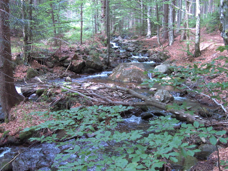
Unsere vorerst letzte Goldsteigetappe. Wir starten am Arberschutzhaus. Über den Arbersee geht es ins Tal.  Wir verlassen an der Seebachschleife den Goldsteig und wandern den Flußweg entlang bis Zwiesel.

Im kommenden Jahr wollen wir die Goldsteigwanderung fortsetzen.

Галерея маршрутов

Карта маршрута и высотный профиль

  • Open Street Map
  • Google
Minimum height 561 m Maximum height 1376 m Детальный вид

More about the tour author

Sira
Member since 2008

Send private message

Комментарии

GPS-Tracks

Trackpoints
  • GPX / Garmin Map Source (gpx) download
  • TCX / Garmin Training Center® (tcx) download
  • CRS / Garmin Training Center® (crs) download
  • Google Earth (kml) download
  • G7ToWin (g7t) download
  • TTQV (trk) download
  • Overlay (ovl) download
  • Fugawi (txt) download
  • Kompass (DAV) Track (tk) download
  • Формуляр маршрута (pdf) download
  • Original file of the author (gpx) download

More about the tour author

Sira
Member since 2008

Send private message
Share track
Add to my favorites
Remove from my favorites
Edit tags
My score
Rate
Маршрут: Auf dem Goldsteig vom Arber nach Zwiesel
Вид: Пешеходный туризм
Длина: 17,9 km
Evaluated on:
Длительность:
Day(s)
Hour(s)
Minute(s)
Оценка: Ландшафт Веселье Кондиция Техника