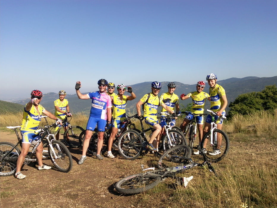
Der Startpunkt war Castiglione del Lago. am See entlang bis Borghetto. Hinauf auf die Höhen und um den See herum, fast bis Panicale, dann wieder zum Ausgangspunkt zurück
Галерея маршрутов
Карта маршрута и высотный профиль
Minimum height 183 m
Maximum height 739 m
Комментарии

Startpunkt in Castiglione war am alten Airport am See unterhalb der Stadt, Zielpunkt war der gleiche
GPS-Tracks
Trackpoints-
GPX / Garmin Map Source (gpx) download
-
TCX / Garmin Training Center® (tcx) download
-
CRS / Garmin Training Center® (crs) download
-
Google Earth (kml) download
-
G7ToWin (g7t) download
-
TTQV (trk) download
-
Overlay (ovl) download
-
Fugawi (txt) download
-
Kompass (DAV) Track (tk) download
-
Формуляр маршрута (pdf) download
-
Original file of the author (gpx) download
Add to my favorites
Remove from my favorites
Edit tags
Open track
My score
Rate


