Login

Забыл пароль?

Cookies have to be accepted!
Your browser's cookie functionality is disabled. Please enable this functionality.

Not a member yet?

Register now
Login

Available for registred users only

Log in to use this feature.

Забыл пароль?

Cookies have to be accepted!
Your browser's cookie functionality is disabled. Please enable this functionality.

Not a member yet?

Register now
Filter
Категории
Advanced filters
  • Длина (км)
  • Высотомер
Сохранить фильтр Reset filter

TrackRank

QRCode

Technical data

Длина66,7 km Высотомер1342 m Way down1337 m Длительность06:00 h:m Дата17.09.2010
Оценки Author Ландшафт Веселье Кондиция Техника

Статистика

761 Виды Оценки 62 Загрузки Среднее
Rate
  • Формуляр маршрута
  • Дорога
  • Загрузки

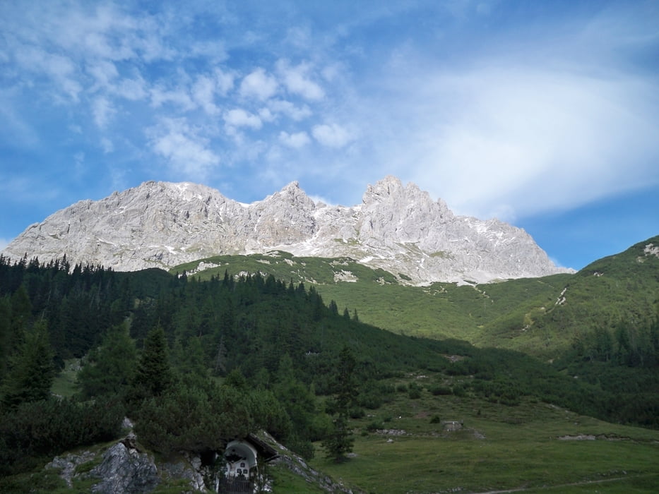
Von Grainau geht es am Plansee vorbei nach Lermoos. Das Marienbergjoch mit einer Höhe von 1790 m ist der höchste Punkt der Tour. Ab hier geht es ständig bergab bis wir Imst erreichen.

Галерея маршрутов

Карта маршрута и высотный профиль

  • Open Street Map
  • Google
Minimum height 727 m Maximum height 1791 m Детальный вид

More about the tour author

andyderbiker
Member since 2009

Send private message

Комментарии

GPS-Tracks

Trackpoints
  • GPX / Garmin Map Source (gpx) download
  • TCX / Garmin Training Center® (tcx) download
  • CRS / Garmin Training Center® (crs) download
  • Google Earth (kml) download
  • G7ToWin (g7t) download
  • TTQV (trk) download
  • Overlay (ovl) download
  • Fugawi (txt) download
  • Kompass (DAV) Track (tk) download
  • Формуляр маршрута (pdf) download
  • Original file of the author (gpx) download

More about the tour author

andyderbiker
Member since 2009

Send private message
Share track
Add to my favorites
Remove from my favorites
Edit tags
My score
Rate
Маршрут: Von Grainau nach Imst
Вид: Горный велосипед
Длина: 66,7 km
Evaluated on:
Длительность:
Day(s)
Hour(s)
Minute(s)
Оценка: Ландшафт Веселье Кондиция Техника