Login

Забыл пароль?

Cookies have to be accepted!
Your browser's cookie functionality is disabled. Please enable this functionality.

Not a member yet?

Register now
Login

Available for registred users only

Log in to use this feature.

Забыл пароль?

Cookies have to be accepted!
Your browser's cookie functionality is disabled. Please enable this functionality.

Not a member yet?

Register now
Filter
Категории
Advanced filters
  • Длина (км)
  • Высотомер
Сохранить фильтр Reset filter

TrackRank

QRCode

Technical data

Длина14,2 km Высотомер544 m Way down355 m Длительность02:59 h:m Дата28.09.2010
Оценки Author Ландшафт Веселье Кондиция Техника

Статистика

107 Виды Оценки 8 Загрузки Среднее
Rate
  • Формуляр маршрута
  • Дорога
  • Загрузки

28.9.2010

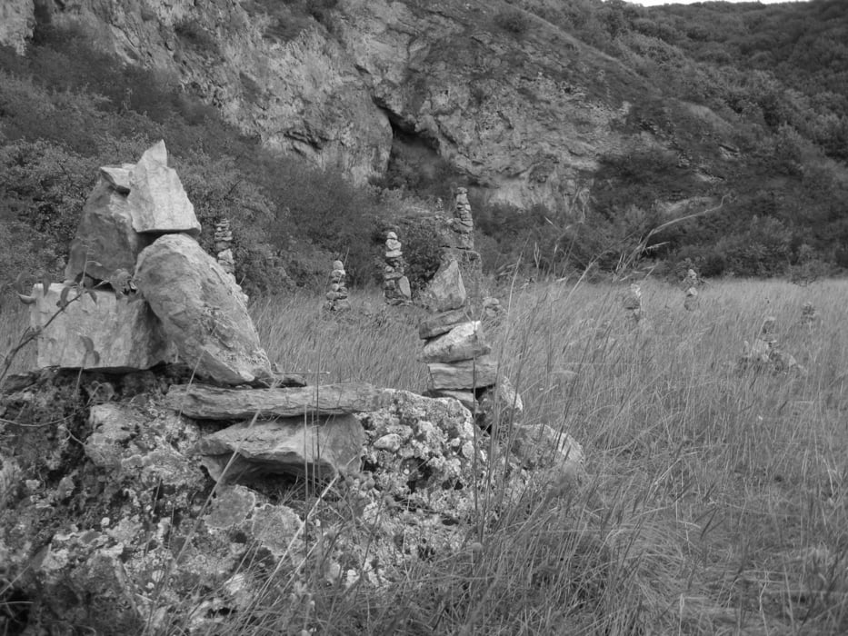
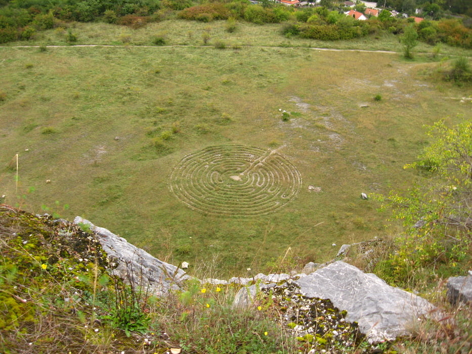
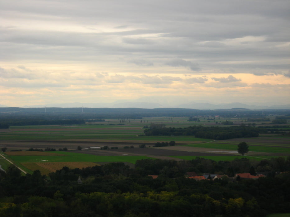
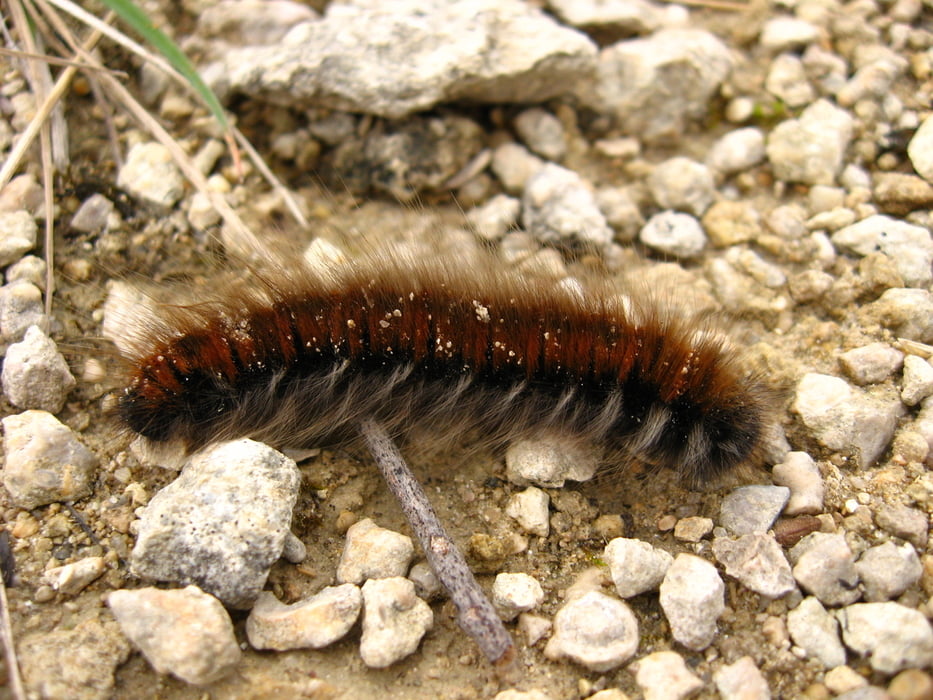
Trošku pešej turistiky spojenej s fotením. Bohužiaľ len s bratovým kompaktom... Ale bolo pekne.

Галерея маршрутов

Карта маршрута и высотный профиль

  • Open Street Map
  • Google
Minimum height 132 m Maximum height 638 m Детальный вид

More about the tour author

tmax
Member since 2007

Send private message

Комментарии

BA-Devín

GPS-Tracks

Trackpoints
  • GPX / Garmin Map Source (gpx) download
  • TCX / Garmin Training Center® (tcx) download
  • CRS / Garmin Training Center® (crs) download
  • Google Earth (kml) download
  • G7ToWin (g7t) download
  • TTQV (trk) download
  • Overlay (ovl) download
  • Fugawi (txt) download
  • Kompass (DAV) Track (tk) download
  • Формуляр маршрута (pdf) download
  • Original file of the author (gpx) download

More about the tour author

tmax
Member since 2007

Send private message
Share track
Add to my favorites
Remove from my favorites
Edit tags
My score
Rate
Маршрут: 20100928_Začínajúca jeseň na Devínskej kobyle
Вид: Пешеходный туризм
Длина: 14,2 km
Evaluated on:
Длительность:
Day(s)
Hour(s)
Minute(s)
Оценка: Ландшафт Веселье Кондиция Техника