Login

Забыл пароль?

Cookies have to be accepted!
Your browser's cookie functionality is disabled. Please enable this functionality.

Not a member yet?

Register now
Login

Available for registred users only

Log in to use this feature.

Забыл пароль?

Cookies have to be accepted!
Your browser's cookie functionality is disabled. Please enable this functionality.

Not a member yet?

Register now
Filter
Категории
Advanced filters
  • Длина (км)
  • Высотомер
Сохранить фильтр Reset filter

TrackRank

QRCode

Technical data

Длина182,1 km Высотомер2254 m Way down2365 m Длительность09:30 h:m Дата08.10.2010
Оценки Author Ландшафт Веселье Кондиция Техника

Статистика

270 Виды Оценки 29 Загрузки Среднее
Rate
  • Формуляр маршрута
  • Дорога
  • Загрузки

3. Okt. 2010

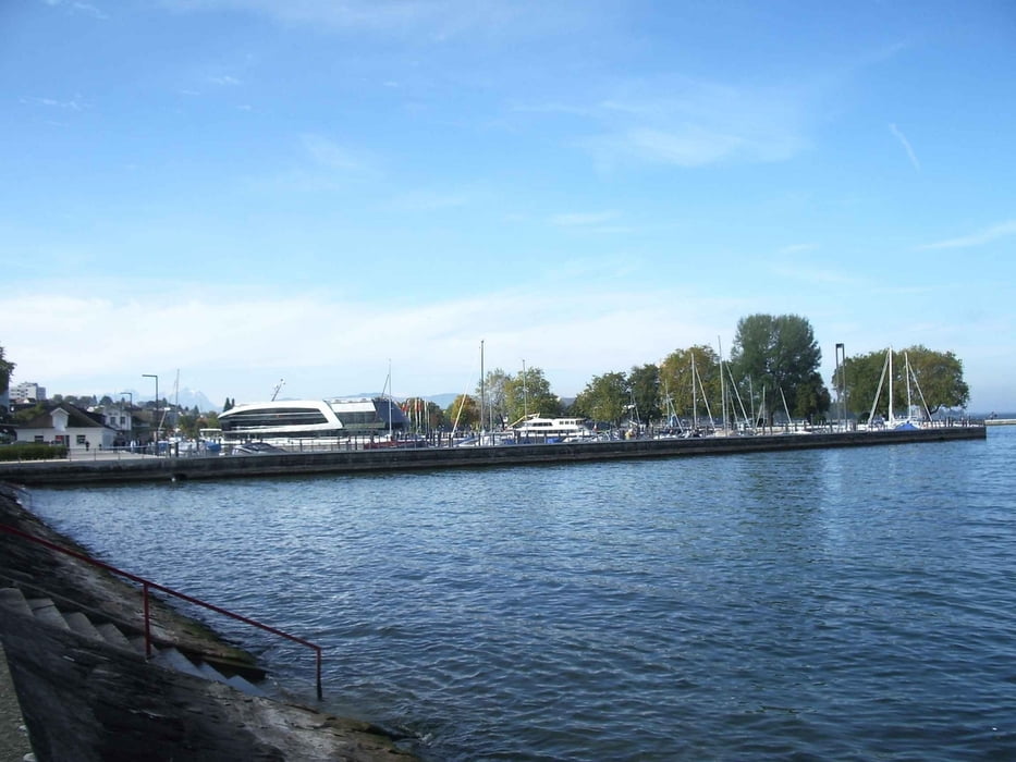
Fahrt vom Bregenzer Wald am Bodensee vorbei, das Deggenhauser Tal hinauf. Durch Pfullendorf zum Donautal. Über die Schwäbische Alb durch das Schmeiatäle und Albstadt nach Balingen.

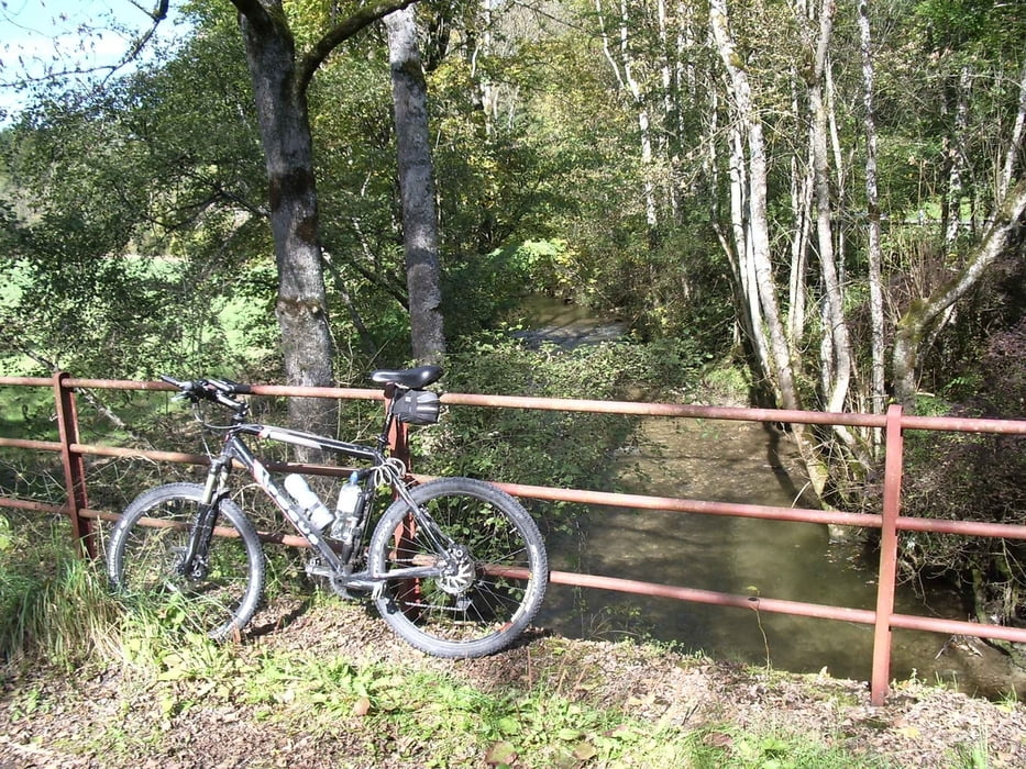
Ca. 10% der Strecke sind Schotter, sonst alles Asphalt.

Галерея маршрутов

Карта маршрута и высотный профиль

  • Open Street Map
  • Google
Minimum height 381 m Maximum height 1156 m Детальный вид

More about the tour author

wsbl54
Member since 2009

Send private message

Комментарии

GPS-Tracks

Trackpoints
  • GPX / Garmin Map Source (gpx) download
  • TCX / Garmin Training Center® (tcx) download
  • CRS / Garmin Training Center® (crs) download
  • Google Earth (kml) download
  • G7ToWin (g7t) download
  • TTQV (trk) download
  • Overlay (ovl) download
  • Fugawi (txt) download
  • Kompass (DAV) Track (tk) download
  • Формуляр маршрута (pdf) download
  • Original file of the author (gpx) download

More about the tour author

wsbl54
Member since 2009

Send private message
Share track
Add to my favorites
Remove from my favorites
Edit tags
My score
Rate
Маршрут: Mellau - Balingen
Вид: Велосипедные маршруты
Длина: 182,1 km
Evaluated on:
Длительность:
Day(s)
Hour(s)
Minute(s)
Оценка: Ландшафт Веселье Кондиция Техника