Login

Забыл пароль?

Cookies have to be accepted!
Your browser's cookie functionality is disabled. Please enable this functionality.

Not a member yet?

Register now
Login

Available for registred users only

Log in to use this feature.

Забыл пароль?

Cookies have to be accepted!
Your browser's cookie functionality is disabled. Please enable this functionality.

Not a member yet?

Register now
Filter
Категории
Advanced filters
  • Длина (км)
  • Высотомер
Сохранить фильтр Reset filter

TrackRank

QRCode

Technical data

Длина20,3 km Высотомер108 m Way down130 m Длительность01:20 h:m Дата09.10.2010
Оценки Author User Ландшафт Веселье Кондиция Техника

Статистика

509 Виды 1 Оценка 24 Загрузки 4.00 Среднее
Rate
  • Формуляр маршрута
  • Дорога
  • Загрузки

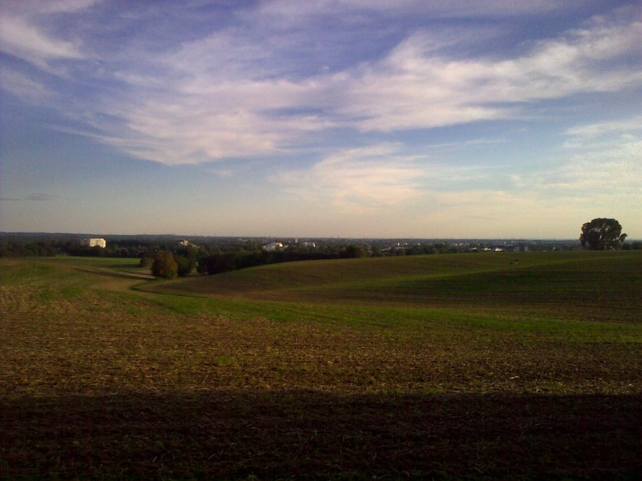
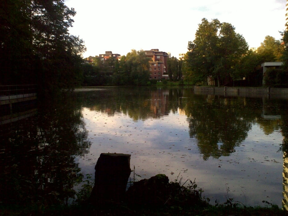
Dies ist eine kleine runde von Hochdahl um den Unterbachersee und wieder zurück.

Sie ist ehr als Frischluft- und Schlaftrunde für meinen Sohn gedacht. Ist aber als kleine Feierabendrund auch nicht schlecht.

Viel Spaß!

Further information at

http://www.fuegener-vergin.de

Галерея маршрутов

Карта маршрута и высотный профиль

  • Open Street Map
  • Google
Minimum height 57 m Maximum height 123 m Детальный вид

More about the tour author

MarcusVergin
Member since 2009

Send private message

Комментарии

GPS-Tracks

Trackpoints
  • GPX / Garmin Map Source (gpx) download
  • TCX / Garmin Training Center® (tcx) download
  • CRS / Garmin Training Center® (crs) download
  • Google Earth (kml) download
  • G7ToWin (g7t) download
  • TTQV (trk) download
  • Overlay (ovl) download
  • Fugawi (txt) download
  • Kompass (DAV) Track (tk) download
  • Формуляр маршрута (pdf) download
  • Original file of the author (gpx) download

More about the tour author

MarcusVergin
Member since 2009

Send private message
Share track
Add to my favorites
Remove from my favorites
Edit tags
My score
Rate
Маршрут: Hochdahl - Unterbachersee
Вид: Горный велосипед
Длина: 20,3 km
Evaluated on:
Длительность:
Day(s)
Hour(s)
Minute(s)
Оценка: Ландшафт Веселье Кондиция Техника