Login

Забыл пароль?

Cookies have to be accepted!
Your browser's cookie functionality is disabled. Please enable this functionality.

Not a member yet?

Register now
Login

Available for registred users only

Log in to use this feature.

Забыл пароль?

Cookies have to be accepted!
Your browser's cookie functionality is disabled. Please enable this functionality.

Not a member yet?

Register now
Filter
Категории
Advanced filters
  • Длина (км)
  • Высотомер
Сохранить фильтр Reset filter

TrackRank

QRCode

Technical data

Длина13,8 km Высотомер530 m Way down694 m Длительность00:00 h:m Дата11.10.2010
Оценки Author Ландшафт Веселье Кондиция Техника

Статистика

635 Виды Оценки 49 Загрузки Среднее
Rate
  • Формуляр маршрута
  • Дорога
  • Загрузки

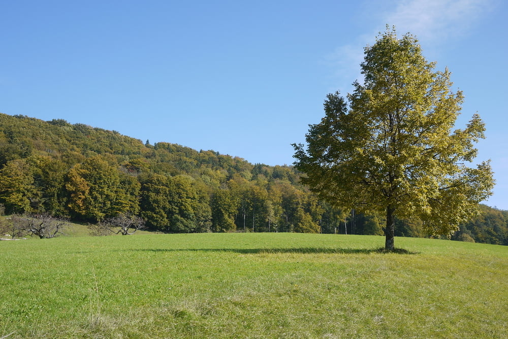
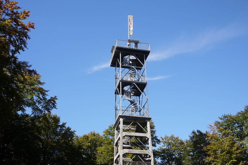
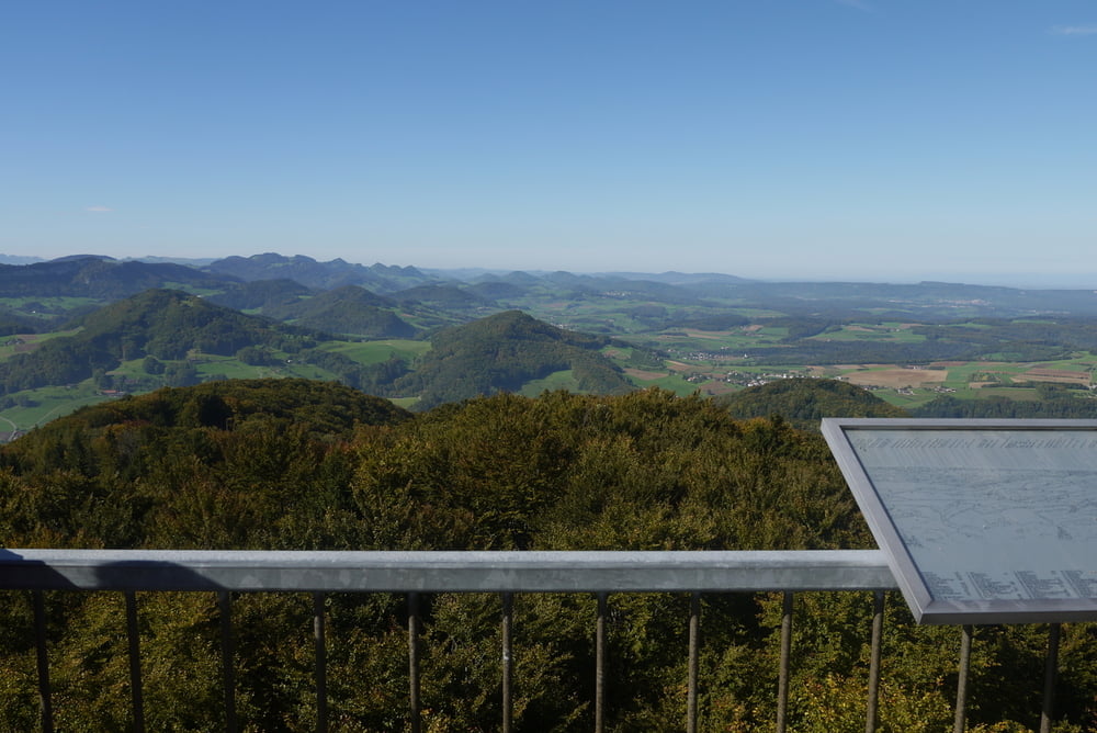
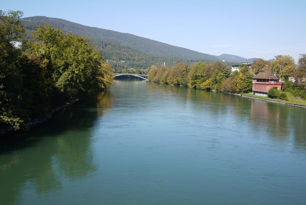
Von Läufelfingen an der alten Hauenstein Bahnlinie zum Wisenberg einem sehr schönen Auspunkt mit Turm. Über das Dorf Wisen zur Froburg und weiter nach Olten.

Die Wanderung ist im Herbst, wenn Hochnebellagen das Mittelland bedecken besonders schön.

Галерея маршрутов

Карта маршрута и высотный профиль

  • Open Street Map
  • Google
Minimum height 399 m Maximum height 1025 m Детальный вид

More about the tour author

gerosa
Member since 2009

Send private message

Комментарии

GPS-Tracks

Trackpoints
  • GPX / Garmin Map Source (gpx) download
  • TCX / Garmin Training Center® (tcx) download
  • CRS / Garmin Training Center® (crs) download
  • Google Earth (kml) download
  • G7ToWin (g7t) download
  • TTQV (trk) download
  • Overlay (ovl) download
  • Fugawi (txt) download
  • Kompass (DAV) Track (tk) download
  • Формуляр маршрута (pdf) download
  • Original file of the author (gpx) download

More about the tour author

gerosa
Member since 2009

Send private message
Share track
Add to my favorites
Remove from my favorites
Edit tags
My score
Rate
Маршрут: Wisenberg ein Auspunkt im Solothurner Jura
Вид: Пешеходный туризм
Длина: 13,8 km
Evaluated on:
Длительность:
Day(s)
Hour(s)
Minute(s)
Оценка: Ландшафт Веселье Кондиция Техника