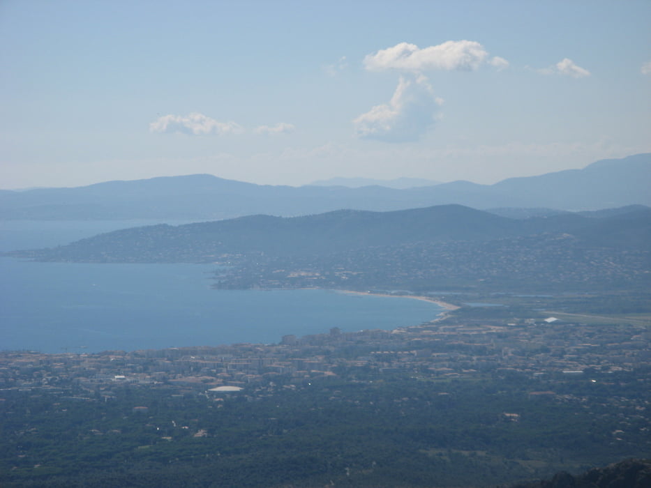
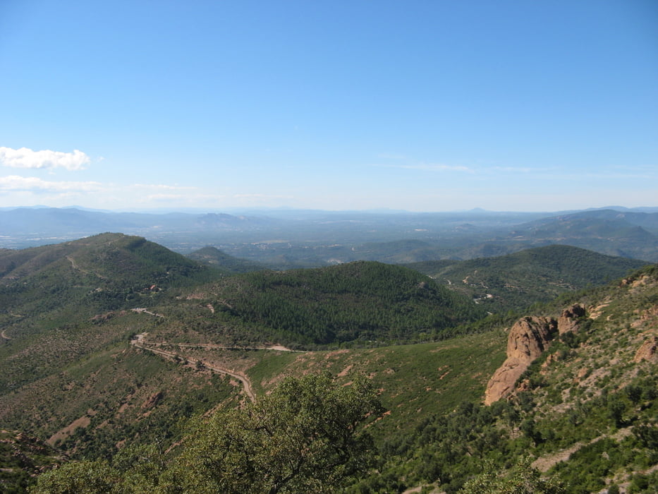
Landschaftlich sehr schöne Runde durch den Esterel. Tolle Aussichten, schöne Pisten.
Von Agay (Camping Agay-Soleil ist sehr empfehlenswert) über Strassse nach Valescure, rechts in GR 49 zum Mt.Vinaigre, zurück über Piste des Perthus.Technisch alles machbar, aber immer obacht! Der lose Schotter ist tückisch !!
Галерея маршрутов
Карта маршрута и высотный профиль
Minimum height -13 m
Maximum height 586 m
Комментарии

Über Autobahn A7, richtung Marseilles, dann Richtung Nizza, Ausfahrt Frejus-St. Raphael, dann nach Valescure, Agay
GPS-Tracks
Trackpoints-
GPX / Garmin Map Source (gpx) download
-
TCX / Garmin Training Center® (tcx) download
-
CRS / Garmin Training Center® (crs) download
-
Google Earth (kml) download
-
G7ToWin (g7t) download
-
TTQV (trk) download
-
Overlay (ovl) download
-
Fugawi (txt) download
-
Kompass (DAV) Track (tk) download
-
Формуляр маршрута (pdf) download
-
Original file of the author (gpx) download
Add to my favorites
Remove from my favorites
Edit tags
Open track
My score
Rate


