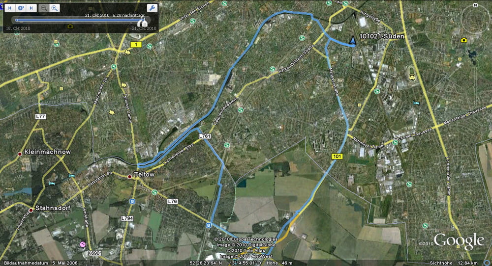
Noch eine mögliche Winterrunde.
Auf schnellen Wegen in die Südschleife und dann auf dem Nordufer des Teltowkanals zurück nach Lankwitz.
Further information at
http://www.teltow.de/tourismus/sehenswuerdigkeiten/Галерея маршрутов
Карта маршрута и высотный профиль
Minimum height 8 m
Maximum height 48 m
Комментарии

Einstieg an jeder Stelle in die Runde.
GPS-Tracks
Trackpoints-
GPX / Garmin Map Source (gpx) download
-
TCX / Garmin Training Center® (tcx) download
-
CRS / Garmin Training Center® (crs) download
-
Google Earth (kml) download
-
G7ToWin (g7t) download
-
TTQV (trk) download
-
Overlay (ovl) download
-
Fugawi (txt) download
-
Kompass (DAV) Track (tk) download
-
Формуляр маршрута (pdf) download
-
Original file of the author (gpx) download
Add to my favorites
Remove from my favorites
Edit tags
Open track
My score
Rate


