Login

Забыл пароль?

Cookies have to be accepted!
Your browser's cookie functionality is disabled. Please enable this functionality.

Not a member yet?

Register now
Login

Available for registred users only

Log in to use this feature.

Забыл пароль?

Cookies have to be accepted!
Your browser's cookie functionality is disabled. Please enable this functionality.

Not a member yet?

Register now
Filter
Категории
Advanced filters
  • Длина (км)
  • Высотомер
Сохранить фильтр Reset filter

TrackRank

QRCode

Technical data

Длина54,3 km Высотомер559 m Way down555 m Длительность00:00 h:m Дата15.11.2010
Оценки Author User Ландшафт Веселье Кондиция Техника

Статистика

929 Виды 1 Оценка 160 Загрузки 4.00 Среднее
Rate
  • Формуляр маршрута
  • Дорога
  • Загрузки

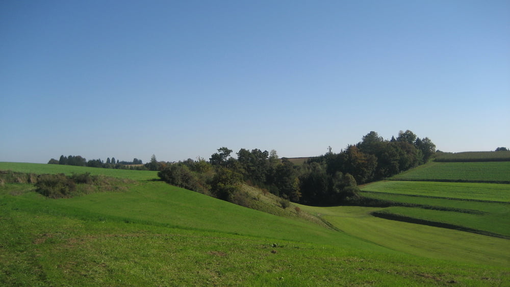
gute Runde so richtig zum auspowern, überwiegend Schotterpisten, Waldwege kaum Teerstraßen, auf dem Gumpenberg toller Ausblick ins Donaumoos,

viel Spaß beim nachfahren :-)

www.bikeandmore-meitingen.de

Bikes and Parts handmade in Germany!

Schloßstraße 9a, 86405 Meitingen, Phone  08271 42 46 075,  Mobil   0171 334 3612
Steppenwolf Bikes:     born to ride free >           www.steppenwolf-bikes.com
Ghost Bikes:                have your own Ghost >   www.ghost-bikes.de
Corratec Bikes:           colour your way >           www.corratec.de
Diamant Fahrräder seit 125 Jahren >                 www.diamantrad.com

MTB Touren: http://www.gps-tour.info/de/community/tours.Bikeandmoremeitingen.html

Unser Geschäftsöffnungszeiten sind:
Dienstag, Donnerstag, Freitag von 10:00h bis 13:00h und 14:30h bis 18:00h
Samstag 10:00 bis 13:00
und fast jederzeit nach telefonischer Terminvereinbarung unter 0171 334 3612

Галерея маршрутов

Карта маршрута и высотный профиль

  • Open Street Map
  • Google
Minimum height 422 m Maximum height 523 m Детальный вид

More about the tour author

Bikeandmoremeitingen
Member since 2010

Send private message

Комментарии

bluematze1987 on 19.08.2014

Top!

Schöne Tour, wusste gar nicht dass es da so viele Steigungen gibt ;)

GPS-Tracks

Trackpoints
  • GPX / Garmin Map Source (gpx) download
  • TCX / Garmin Training Center® (tcx) download
  • CRS / Garmin Training Center® (crs) download
  • Google Earth (kml) download
  • G7ToWin (g7t) download
  • TTQV (trk) download
  • Overlay (ovl) download
  • Fugawi (txt) download
  • Kompass (DAV) Track (tk) download
  • Формуляр маршрута (pdf) download
  • Original file of the author (gpx) download

More about the tour author

Bikeandmoremeitingen
Member since 2010

Send private message
Share track
Add to my favorites
Remove from my favorites
Edit tags
My score
Rate
Маршрут: Pöttmesser Hügeltour
Вид: Горный велосипед
Длина: 54,3 km
Evaluated on:
Длительность:
Day(s)
Hour(s)
Minute(s)
Оценка: Ландшафт Веселье Кондиция Техника