Login

Забыл пароль?

Cookies have to be accepted!
Your browser's cookie functionality is disabled. Please enable this functionality.

Not a member yet?

Register now
Login

Available for registred users only

Log in to use this feature.

Забыл пароль?

Cookies have to be accepted!
Your browser's cookie functionality is disabled. Please enable this functionality.

Not a member yet?

Register now
Filter
Категории
Advanced filters
  • Длина (км)
  • Высотомер
Сохранить фильтр Reset filter

TrackRank

QRCode

Technical data

Длина16,5 km Высотомер284 m Way down238 m Длительность05:30 h:m Дата28.11.2010
Оценки Author Ландшафт Веселье Кондиция Техника

Статистика

356 Виды Оценки 41 Загрузки Среднее
Rate
  • Формуляр маршрута
  • Дорога
  • Загрузки

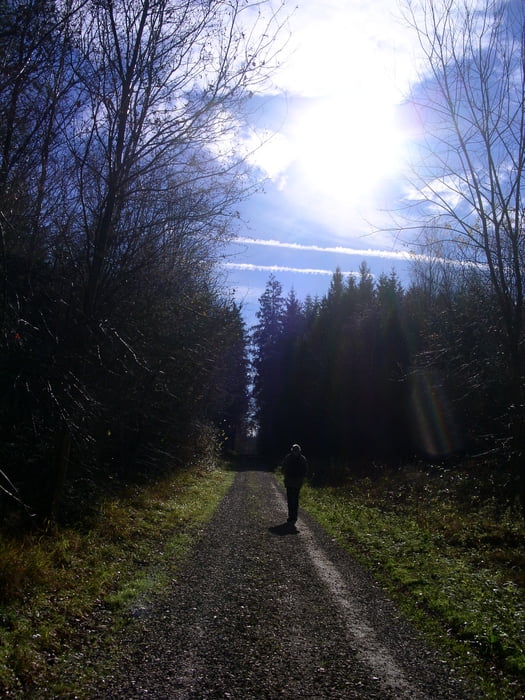
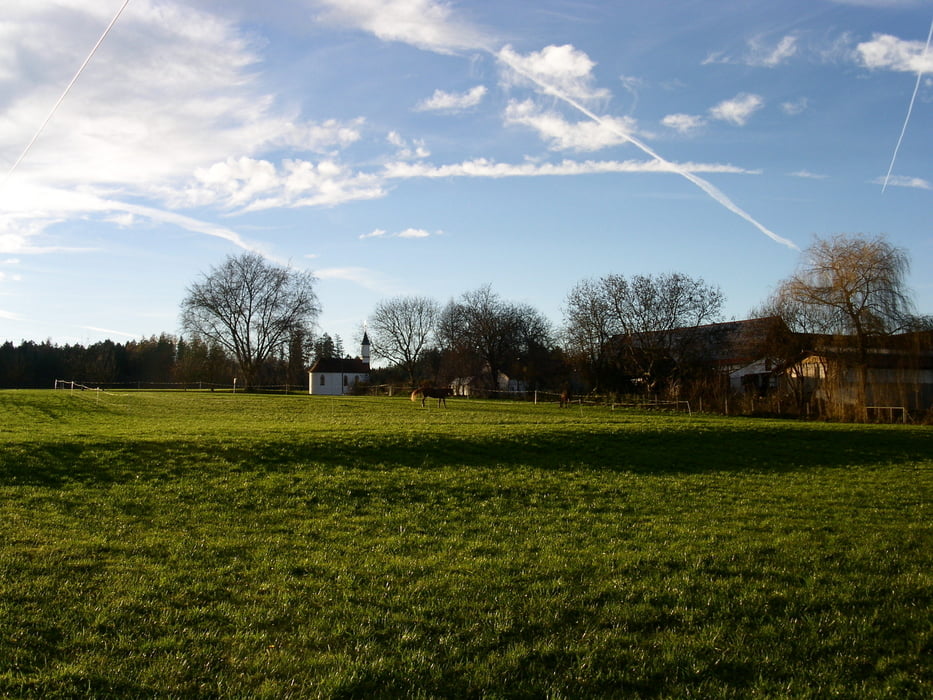
Wieder ne herrliche Tour die Helmut ausgesucht hat:

Schöner Rundgang vom Waldfriedhof Weissenhorn-Roggenburg und zurück über Asch.

Einkehrmöglichkeit: Roggenschenke Nähe Kloster

Dauer ca. 5,5 Stunden

Further information at

http://www.roggenschenke.de/

Галерея маршрутов

Карта маршрута и высотный профиль

  • Open Street Map
  • Google
Minimum height 486 m Maximum height 583 m Детальный вид

More about the tour author

STEFANNADINE1
Member since 2009

Send private message

Комментарии

GPS-Tracks

Trackpoints
  • GPX / Garmin Map Source (gpx) download
  • TCX / Garmin Training Center® (tcx) download
  • CRS / Garmin Training Center® (crs) download
  • Google Earth (kml) download
  • G7ToWin (g7t) download
  • TTQV (trk) download
  • Overlay (ovl) download
  • Fugawi (txt) download
  • Kompass (DAV) Track (tk) download
  • Формуляр маршрута (pdf) download
  • Original file of the author (gpx) download

More about the tour author

STEFANNADINE1
Member since 2009

Send private message
Share track
Add to my favorites
Remove from my favorites
Edit tags
My score
Rate
Маршрут: Weissenhorn_Roggenburg_zurueck
Вид: Пешеходный туризм
Длина: 16,5 km
Evaluated on:
Длительность:
Day(s)
Hour(s)
Minute(s)
Оценка: Ландшафт Веселье Кондиция Техника