Login

Забыл пароль?

Cookies have to be accepted!
Your browser's cookie functionality is disabled. Please enable this functionality.

Not a member yet?

Register now
Login

Available for registred users only

Log in to use this feature.

Забыл пароль?

Cookies have to be accepted!
Your browser's cookie functionality is disabled. Please enable this functionality.

Not a member yet?

Register now
Filter
Категории
Advanced filters
  • Длина (км)
  • Высотомер
Сохранить фильтр Reset filter

TrackRank

QRCode

Technical data

Длина10,8 km Высотомер33 m Way down55 m Длительность03:00 h:m Дата05.01.2011
Оценки Author Ландшафт Веселье Кондиция Техника

Статистика

410 Виды Оценки 30 Загрузки Среднее
Rate
  • Формуляр маршрута
  • Дорога
  • Загрузки

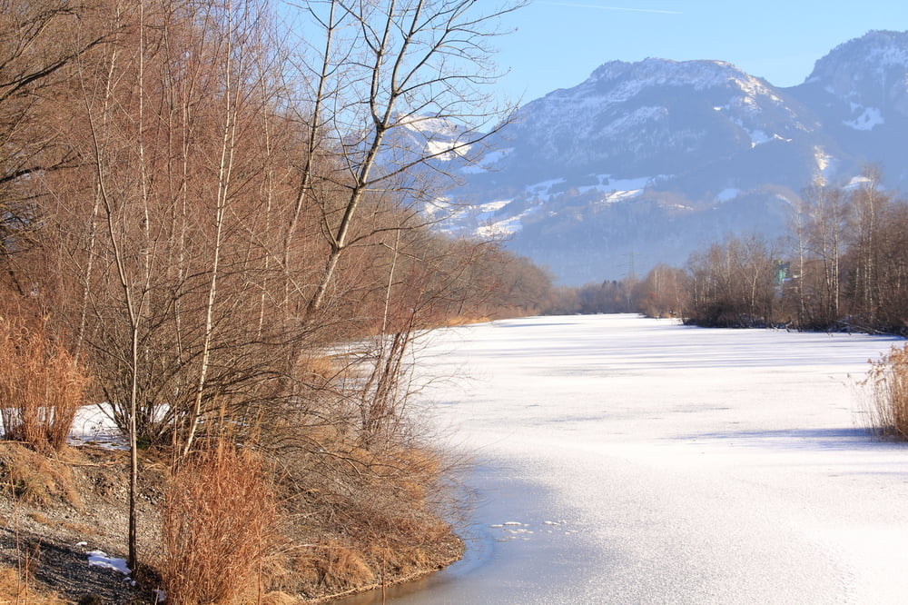
an der Hängebrück nach Diepoldsau parken und dann links auf dem Rheindamm wandern bis zu einem quadratischen Haus. Hier wieder links zum Altrhein und an diesem weiter bis nach Rost. Von hier wieder auf den Rheindamm und zurück zum Parkplatz.

Галерея маршрутов

Карта маршрута и высотный профиль

  • Open Street Map
  • Google
Minimum height 400 m Maximum height 449 m Детальный вид

More about the tour author

Fruehaufsteher
Member since 2008

Send private message

Комментарии

GPS-Tracks

Trackpoints
  • GPX / Garmin Map Source (gpx) download
  • TCX / Garmin Training Center® (tcx) download
  • CRS / Garmin Training Center® (crs) download
  • Google Earth (kml) download
  • G7ToWin (g7t) download
  • TTQV (trk) download
  • Overlay (ovl) download
  • Fugawi (txt) download
  • Kompass (DAV) Track (tk) download
  • Формуляр маршрута (pdf) download
  • Original file of the author (gpx) download

More about the tour author

Fruehaufsteher
Member since 2008

Send private message
Share track
Add to my favorites
Remove from my favorites
Edit tags
My score
Rate
Маршрут: Am Rhein entlang
Вид: Пешеходный туризм
Длина: 10,8 km
Evaluated on:
Длительность:
Day(s)
Hour(s)
Minute(s)
Оценка: Ландшафт Веселье Кондиция Техника