Login

Забыл пароль?

Cookies have to be accepted!
Your browser's cookie functionality is disabled. Please enable this functionality.

Not a member yet?

Register now
Login

Available for registred users only

Log in to use this feature.

Забыл пароль?

Cookies have to be accepted!
Your browser's cookie functionality is disabled. Please enable this functionality.

Not a member yet?

Register now
Filter
Категории
Advanced filters
  • Длина (км)
  • Высотомер
Сохранить фильтр Reset filter

TrackRank

QRCode

Technical data

Длина41,4 km Высотомер1130 m Way down1116 m Длительность00:00 h:m Дата08.01.2011
Оценки Author Ландшафт Веселье Кондиция Техника

Статистика

245 Виды Оценки 33 Загрузки Среднее
Rate
  • Формуляр маршрута
  • Дорога
  • Загрузки

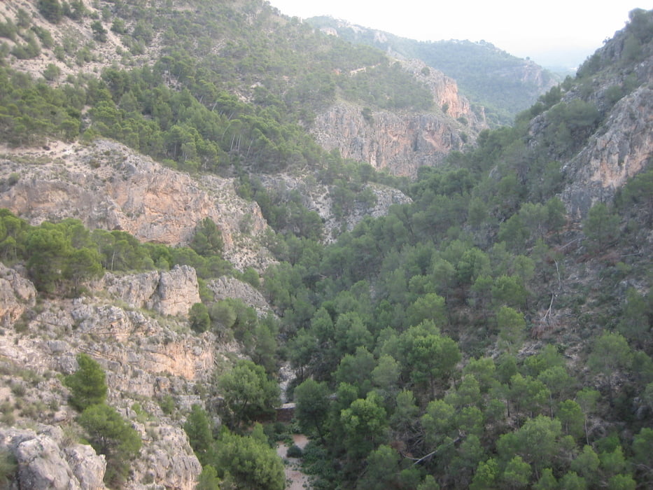
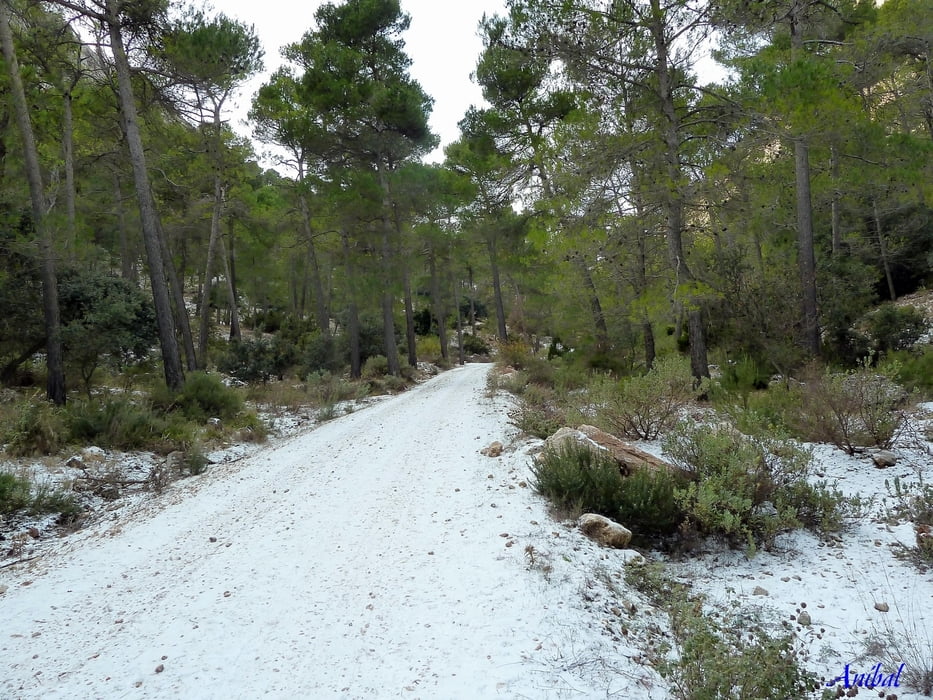
 Ruta exigente que nos subirá a la segunda altitud de Sierra Espuña. La bajada, del Morrón, es impresionante. Y se visita los pozos de D. Eleuterio y las casas de Malvariche.

Галерея маршрутов

Карта маршрута и высотный профиль

  • Open Street Map
  • Google
Minimum height 685 m Maximum height 1549 m Детальный вид

More about the tour author

Anibal
Member since 2009

Send private message

Комментарии

GPS-Tracks

Trackpoints
  • GPX / Garmin Map Source (gpx) download
  • TCX / Garmin Training Center® (tcx) download
  • CRS / Garmin Training Center® (crs) download
  • Google Earth (kml) download
  • G7ToWin (g7t) download
  • TTQV (trk) download
  • Overlay (ovl) download
  • Fugawi (txt) download
  • Kompass (DAV) Track (tk) download
  • Формуляр маршрута (pdf) download
  • Original file of the author (gpx) download

More about the tour author

Anibal
Member since 2009

Send private message
Share track
Add to my favorites
Remove from my favorites
Edit tags
My score
Rate
Маршрут: Subida a El Morrón desde Sta. Leocadia
Вид: Горный велосипед
Длина: 41,4 km
Evaluated on:
Длительность:
Day(s)
Hour(s)
Minute(s)
Оценка: Ландшафт Веселье Кондиция Техника