Login

Забыл пароль?

Cookies have to be accepted!
Your browser's cookie functionality is disabled. Please enable this functionality.

Not a member yet?

Register now
Login

Available for registred users only

Log in to use this feature.

Забыл пароль?

Cookies have to be accepted!
Your browser's cookie functionality is disabled. Please enable this functionality.

Not a member yet?

Register now
Filter
Категории
Advanced filters
  • Длина (км)
  • Высотомер
Сохранить фильтр Reset filter

TrackRank

QRCode

Technical data

Длина87,2 km Высотомер1798 m Way down1797 m Длительность06:00 h:m Дата12.01.2011
Оценки Author Ландшафт Веселье Кондиция Техника

Статистика

497 Виды Оценки 65 Загрузки Среднее
Rate
  • Формуляр маршрута
  • Дорога
  • Загрузки

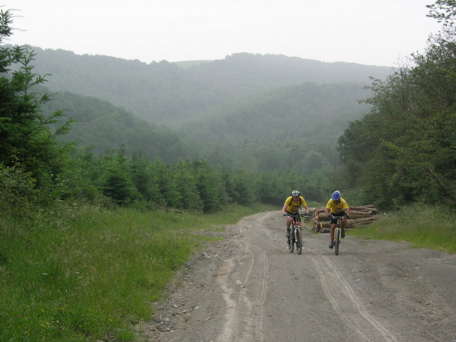
One of the most beautiful rides I did in 2010.

Lots of singletracks...

Further information at

http://wwb-la-rando.blogspot.com/

Галерея маршрутов

Карта маршрута и высотный профиль

  • Open Street Map
  • Google
Minimum height 93 m Maximum height 296 m Детальный вид

More about the tour author

ElBaelos
Member since 2011

Send private message

Комментарии

GPS-Tracks

Trackpoints
  • GPX / Garmin Map Source (gpx) download
  • TCX / Garmin Training Center® (tcx) download
  • CRS / Garmin Training Center® (crs) download
  • Google Earth (kml) download
  • G7ToWin (g7t) download
  • TTQV (trk) download
  • Overlay (ovl) download
  • Fugawi (txt) download
  • Kompass (DAV) Track (tk) download
  • Формуляр маршрута (pdf) download
  • Original file of the author (gpx) download

More about the tour author

ElBaelos
Member since 2011

Send private message
Share track
Add to my favorites
Remove from my favorites
Edit tags
My score
Rate
Маршрут: Rando de l'Hermeton Surice (Florennes)
Вид: Горный велосипед
Длина: 87,2 km
Evaluated on:
Длительность:
Day(s)
Hour(s)
Minute(s)
Оценка: Ландшафт Веселье Кондиция Техника